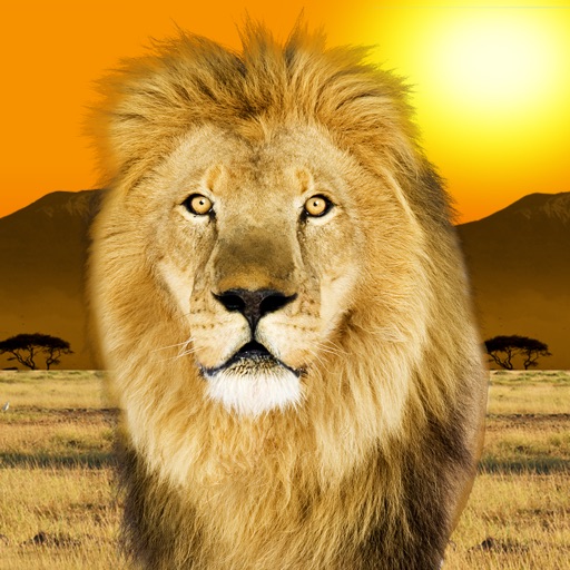
Explore wildlife through augmented and virtual reality with interactive animations and videos. Learn about animals via educational read-alongs. Take photos as a animal. Navigate a virtual environment.
Convert ArcGIS point feature layers into augmented reality scenes. Import and visualize spatial data in real-world environments. Adjust layer properties and view 3D representations. Share AR scenes with others for collaboration.
Create interactive architectural presentations using augmented reality. Import 3D models from Revit, SketchUp, and Maya directly. Preview models in real-time with spatial awareness. Annotate and highlight key features for stakeholders.
Explore an immersive AR experience featuring music, imagery, and storytelling. Navigate interactive environments with soundscapes blending sci-fi, jazz, and experimental genres. Discover layered narratives and visual art tied to the project's themes.