
Planimeter for map measure
忠 张
Distance and area on maps
Distances and areas on satellite maps. Select points to calculate length or size. Save measurements and share results. Compatible with various map views and zoom levels.

Showing 61–80 of 1,000 ranked alternatives.
忠 张
Distance and area on maps
Distances and areas on satellite maps. Select points to calculate length or size. Save measurements and share results. Compatible with various map views and zoom levels.

Applorium Ltd
Calculate distances and areas on a map
Calculates distances between map points and areas of non-overlapping polygons. Users can switch between metric and imperial units. Coordinates are displayed in decimal or degrees, minutes, and seconds.

APPASPECT TECHNOLOGIES PRIVATE LIMITED
Track speed and log journeys
Monitor speed with unit switching between KM/H, MPH, and KTS. View analog or digital speedometer displays. Track journeys with detailed logging and route mapping. Integrate music playback and receive real-time weather updates.

Arthur Eduardo Skaetta Alvarez Desenvolvimento de Software LTDA.
Distances and areas with GPS
Distances and areas using satellite images. Tap the map to add markers and calculate distances or enclosed areas. Search for addresses to locate measurement points. Support multiple units including square feet and square meters.

Kristopher Linquist
Spot locations and track your journey
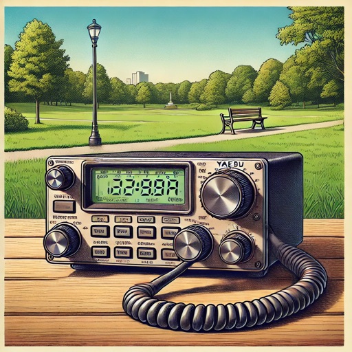
Find nearby parks or summits using location data. Enter your callsign and frequency to send spotting messages via SMS over satellite. View maps with points of interest. Track POTA and SOTA activities . Share spotting reports directly.

JC Accounting & Innovative Technologies, Inc
Know your location and boundaries
Displays real-time location and current /sector boundaries. Shows crime/incident data and sector maps. Includes satellite and street view layers. Provides quick access to contact info and navigation tools.

David Ryall
GPS, track location, diagnose issues
Provides GPS navigation with fast lock time and precise parameters. Supports multiple systems including GPS, Galileo, GLONASS, and QZSS. Diagnoses location issues and suggests fixes. Includes latitude, longitude, and WGS84 by default.

Martin Dodd
Track skies and find clear
Track celestial events and locate optimal stargazing conditions. Find clear, dark skies with forecasts for light pollution and cloud cover. Set alerts for ideal viewing times. Share locations and compare sky clarity across regions.

Jorge Gregorio Martin Bello
View satellites in augmented reality
View satellites in augmented reality or 3D/2D maps. Locate satellites in real time based on your position. Check nearest details. Press button to verify availability. Track positions and learn about their orbit and launch status.

Valerii Andrusyk
Block unwanted calls and numbers
Block unwanted calls by adding phone number prefixes. Prevent spoofed numbers from appearing as local. Block up to 100 area codes or specific numbers. Manage restrictions and view blocked calls. Sync with phone contacts for automatic blocking.
Droidware UK
Locate TV satellites in the sky.
The app uses phone sensors to detect location and calculate azimuth and elevation for satellite antenna alignment. Augmented Reality View shows satellite icons through the camera, aiding in line-of-sight checks.
Michael Howard
Explore with high-resolution maps and topographic details
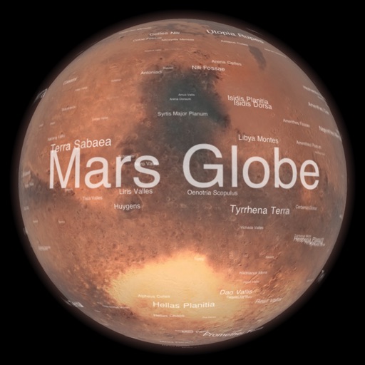
Explore a high-resolution 3D model of with topographic lighting and satellite data. Navigate the surface, view annotated features, and access information links. Take a guided tour or explore freely.

Donald Hays
Convert coordinates to format
Track location using latitude and longitude coordinates alongside Grid Locator System coordinates. Convert between coordinate systems. Display current position in both formats simultaneously.

TARS Technologies LLC
Track launches, view events, stream live updates
Track launches and events from agencies like SpaceX, NASA, and Roscosmos. View live streams and real-time updates. Access detailed information on past launches. Set alerts for upcoming events. Share details with others.

MULTI MOBILE d.o.o.
Create unique flyers invitations presentations logos
The app allows users to create flyers, invitations, presentations, and logos. Users can choose from pre-made designs or import their own backgrounds and maps.

忠 张
Distance and area on maps
Distances and areas on satellite maps. Select objects like lawns, roads, and buildings. Save and share measurements. Export data in various formats. Sync with other apps for project planning.
Apps are ranked by functional similarity, category fit, rating confidence, and popularity.