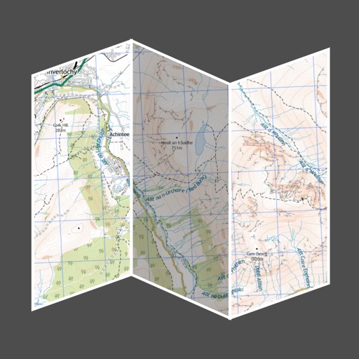
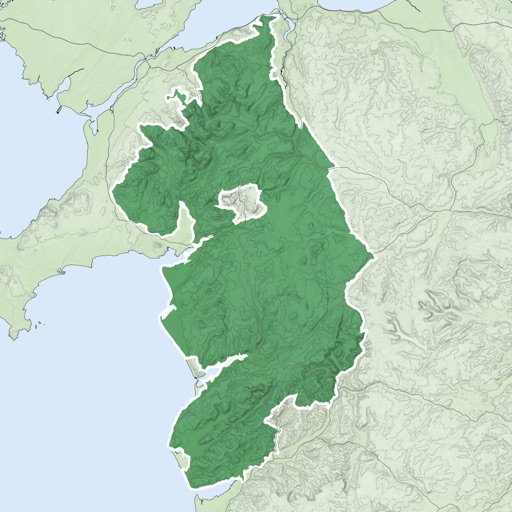
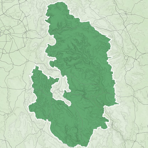
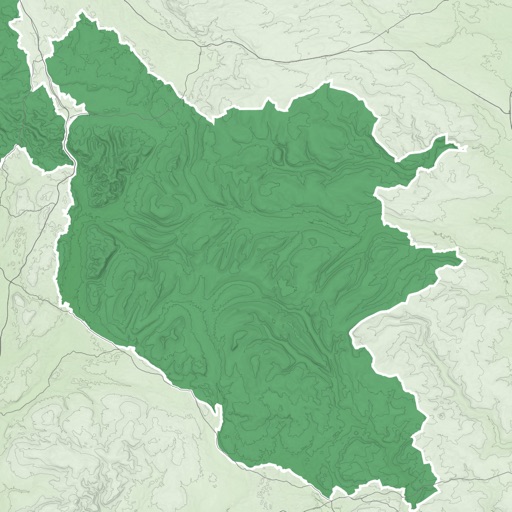
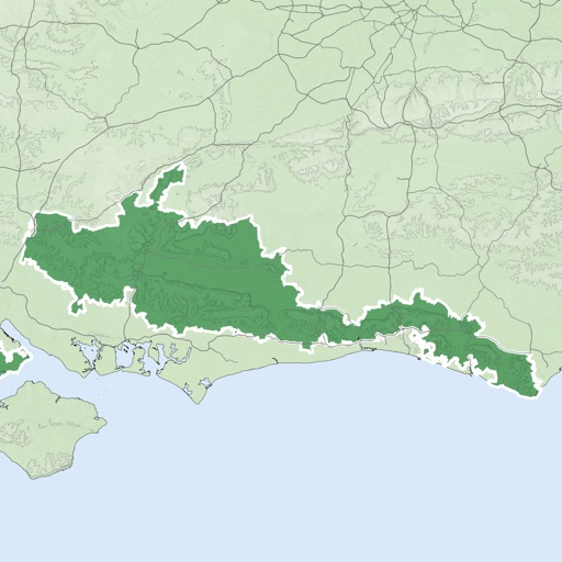
The app provides offline topographic map coverage of New Zealand's North Island. It includes satellite images, elevation data, and integrated information on land boundaries and trails.
The app displays real-time shuttle bus locations and stop information for Wesleyan University. It features an interactive map showing shuttle routes and nearby stops, simplifying campus navigation.
The app displays straight-line and driving distances to a destination. Users can set destinations via search or map selection, with real-time distance and direction updates.
View maps for Madrid, , and Bilbao offline. Use AR mode to navigate. Zoom and pan with touch gestures. Display user location. Fullscreen map with one tap. Subscription required for full features.
Explore historical sites with GPS-enabled maps and interpretive stories. View historical images, audio clips, and documentary videos. Take guided walking tours and learn about notable people and events in ’ history.
Display recent natural hazard data such as active fires, earthquake alerts, and air pollution. Overlay this data on satellite imagery and maps. Identify locations of major dams and nuclear power plants.
The app provides offline mapping for iOS devices using downloaded OSM vector maps. Users can navigate without an internet connection, ideal for travel or areas with no service.