

Apps Like Wayback Maps USA for iPhone and iPad
Wayback Maps USA screenshots
Ranked alternatives
Showing 181–200 of 1,000 ranked alternatives.

Find My Class - Campus Maps
Michael Schmidt
Navigate and your way
Navigate college campuses by searching for buildings and locations. Add campuses and locations manually. Rate locations for accuracy. Earn FMCPoints and compete on a leaderboard for contributing content.


Paper Maps
Abbro Inc
View , edit layers, share annotations
View PDF, TIFF, KAP, and KML files. Sync with iCloud, Google Drive, OneDrive, and Dropbox. Add placemarks, record tracks, and draw shapes. Share annotations in real time. Use tools like theodolite and georeferencer for map editing.


Emmett Till Memory Project
Cleveland State University Research Corporation
Explore historical sites and documents
Explore historical sites linked to the murder with interactive maps. Access expert-reviewed narratives, archival documents, and photographs at each location. Learn about events from 1955 and how sites have been commemorated over time.


Orientation: Compass & Map
chaviro software
See places relative to current position.
The app displays up to six chosen locations simultaneously. Users can view the direction and distance to each selected place on a compass and check their coordinates.

Location Maps - Measure Map
KIET NGUYEN TAN
Track , share , land areas
Track real-time and share it with friends. Copy coordinates and perform actions on . land area using GPS and calculation tools. Find routes with distance and direction calculations.
Scenic Map Grand Canyon
Mark Granger
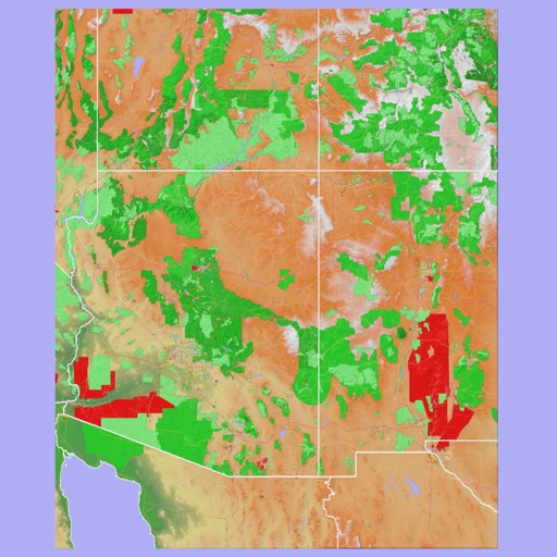
Explore landscapes in three dimensions.
The app provides 3D topographic maps for iPad and iPhone. Vector map data is contained within the app for offline use, supporting navigation in various environments.

Saint Paul Historical
Cleveland State University Research Corporation
Explore historic sites and take walking tours
Explore history through interactive GPS-enabled maps with information, images, and stories. Discover people, places, and events. Take self-guided walking tours and access interpretive content about historic locations.


Unofficial Map: AC Origins
Magic Lamp Technologies Limited
Find locations and track progress in Egypt
Explore an for AC: featuring 1000+ locations including collectibles, Viewpoints, and Side Quests. Filter by 45+ categories like Treasure and Legendary Gear. Use Quicksearch to find locations by name.

Radon Map of Santa Barbara
Toonsy Net
Check levels and risk zones
Identify risk levels in County using an interactive map. Zoom, scroll, or use GPS for location. View risk levels from the California Geological Survey. Test your home for .

Memory-Map
Memory-Map, Inc.
Navigate with offline maps and GPS
Turn your iPhone or iPad into an outdoor GPS or marine chart plotter. Use detailed Topo maps or NOAA marine charts for navigation. Access maps offline without a network connection. View GPS location without mobile signal.

Land Nav Assistant
Gammon Applications, LLC
Navigate using MGRS or coordinates
Enter MGRS or coordinate data to navigate to specific points. Adjust pace count and track deviations. View distance, speed, and angle settings in meters/km or feet/miles. Analyze movement patterns for navigation improvement.

Peakery
Apperies LLC.
Track peaks, share hikes, and explore mountains
Track mountain hikes with in- GPS, recording vertical gain and current elevation. Browse, search, and filter 600,000 peaks across 50 map layers, including topo and satellite views. Save hikes, collect peaks, and share progress with others.

Kodiak Summits
Mica Linscheid
Navigate routes with offline topo maps
Navigate trails in using an offline topo map. View real-time location and route details. Access detailed elevation data and trail markers. Save and share route logs without internet connectivity.
How we rank alternatives
Apps are ranked by functional similarity, category fit, rating confidence, and popularity.