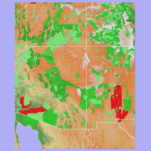
Browse digital maps with multiple view options including standard Apple Maps, satellite, hybrid, USGS topographic maps, orthophotos, NOAA nautical charts, and Open Street Map. Navigate, zoom, and search for locations across different map layers.
Navigate using real-time maps and track geocaches with detailed location data. Store geocache information including logs, waypoints, and images locally. Import GPX files or pocket queries. Access over two million geocaches directly via API.
Track location and navigate back to a marked waypoint using directional guidance. Measure distance to the waypoint in meters. Save multiple waypoints for future reference. Share coordinates with others for group navigation.
Plan and track outdoor routes with 3D terrain views. Measure elevation changes and distance. Save and share custom trails. Access real-time GPS navigation and offline maps. Adjust routes based on elevation and difficulty.
Customize dashboards with configurable gauges like speedometer, odometer, GPS altimeter, barometric altimeter, accelerometer, artificial horizon, compass, and elapsed time. Swipe to switch views and access real-time sensor data from iPhone or iPad.
The app provides 3D topographic maps for iPad and iPhone. Vector map data is contained within the app for offline use, supporting navigation in various environments.
The app provides marine charts for the UK and Ireland, featuring live AIS ship positions, augmented reality views, and route planning. It offers offline charts, autopilot support, and detailed navigation information for boating trips.
The app predicts the incidence of chronic pain following inguinal hernia repair in males. Users answer 18 questions to receive a percentage chance of discomfort one year after surgery.