

Apps Like GridPoint for iPhone and iPad
Ranked alternatives
Showing 461–480 of 1,000 ranked alternatives.


Lokimaps
Shingle Oy
Navigate with accurate
View topographic of with detailed scale options and lake depth information. Access property data via in- purchase. Download for offline use. Navigate using precise map data and location features.

Allegheny County Parks Trails
County of Allegheny
Explore , navigate with GPS
Explore with detailed descriptions and trail information. Use GPS to navigate based on skill level and preferences. Download maps for offline access. Track hikes with elevation profiles and route details.

Wildfire App-Fire Tracker・Maps
Savelii Stepura
Track wildfires and receive real-time alerts
Track wildfires in real time with maps showing current fire locations and spread. Receive alerts from verified sources including current and former firefighters. View detailed reports and updates from first responders and reporters.





iTacTic
3B Soft srls
Track race routes and export GPS data
Configure sailboat performance settings from 2-20kn and set start line, wind direction, and intensity. Track real-time GPS data during races and record performance continuously in the background.

TrackaShip Universal
Brian Bach Mortensen
Identify ships passing offshore easily.
The app displays ships on a map with clear icons and a built-in compass. Users can view ship details, measure distances, and upload ship images.

mAPP - Offline Mapping App
Michael Andreas May
Offline maps for every journey.
The app provides offline mapping for iOS devices using downloaded OSM vector maps. Users can navigate without an internet connection, ideal for travel or areas with no service.


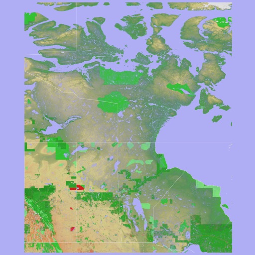
Scenic Map Western Canada
Mark Granger
3D topo map of Western Canada
The app provides a 3D topographical map of Western Canada. Map data downloads to the device for use without an internet connection, allowing users to view terrain features as small as ten meters.

Scenic Map Eastern Canada
Mark Granger
3D topographic map of Eastern Canada
The app presents a 3D topographic map of Eastern Canada. Users can download map data for use without an internet connection, suitable for various travel methods.

Looking4Cache Pro
Michael Andreas May
Find geocaches and save details
Navigate using real-time maps and track geocaches with detailed location data. Store geocache information including logs, waypoints, and images locally. Import GPX files or pocket queries. Access over two million geocaches directly via API.
How we rank alternatives
Apps are ranked by functional similarity, category fit, rating confidence, and popularity.