Track with real-time GPS measurements and second-level precision. Monitor oxygen levels and elevation changes. Log journeys offline and sync data later. Customize themes and access advanced tracking features without login or ads.
The app offers an interactive visit of the Chamonix valley through guided GPS tours. It uses a cultural database on geography and history, presenting themes with texts, interviews, sounds, and visuals.
Plan customized itineraries with event listings and tour options. Explore historical sites, natural areas, and arts venues. Access trail maps and downtown guides. Discover dining and shopping options. View festival schedules and local attractions.
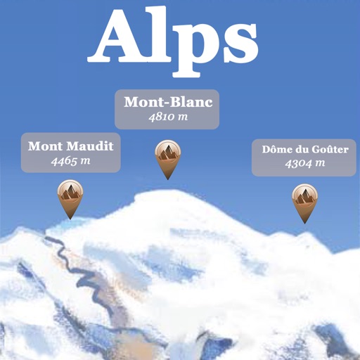
The app references over 20,000 peaks, passes, lakes, and shelters in the Alps. Users can find names, altitudes, and distances to summits and locate various points of interest on a 2D map.
Plan trips to parks with downloadable , guides, and park brochures. Access 75+ national and state parks, 150+ from various agencies, 100+ campgrounds, 1,600+ trails, and 72,000+ points of interest.
Plan trips to parks with downloadable , guides, and park brochures. Access 50+ parks, 80+ , 130+ campgrounds, 400+ trails, and 63,000+ points of interest. Download newspapers and park information for offline use in areas without Wi-Fi.
Track scores with an interactive scorecard and choose from Skins, Stableford, Par, or Stroke scoring. Use GPS to measure shots and view hole descriptions with playing tips. Log stats automatically and book tee times.