Calculate ballistic trajectories with detailed data including 4000 cartridges and 3300 reticles. Visualize trajectories, compare different cartridges, and adjust for barometric pressure, altitude, temperature, and wind.
Track in meters or feet with real-time updates. Display GPS accuracy and battery usage. Works offline with a clean interface. Ideal for hiking, flight tracking, and outdoor activities.
Measure atmospheric pressure and altitude using built-in GPS and pressure sensor. Automatically calibrate readings with local meteorological station data. Display current pressure and elevation levels. Save historical data for reference.
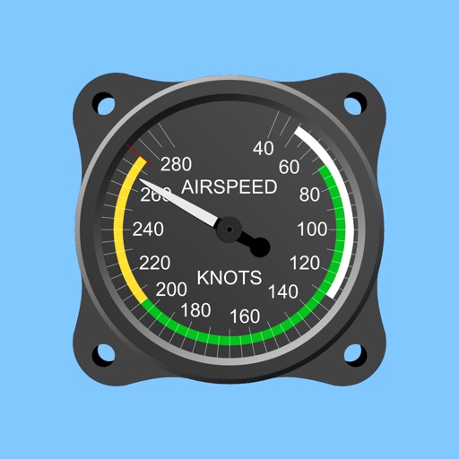
Calculate true airspeed, mach number, pressure altitude, and density altitude. Input indicated altitude and Kollsman window pressure setting. Automatically adjusts for standard sea level pressure.
Log time segments and calculate total time with Time. View block and duty intervals to manage scheduling. Perform preflight performance checks using aviation-specific calculations.
GPS speedometer displays real-time speed for driving, biking, or walking. Measure trip distance offline. Track altitude for planes. Switch between mph, km/h, and knots. Use Today Widget or Apple Watch. Adjust screen color and toggle mirror .
Track elevation and atmospheric pressure with and barometer. Use compass for direction based on satellite location. Access weather updates and speedometer. Log steps with pedometer. View maps and use binoculars for scouting.
BALLISTIC SOLUTIONS RESEARCH & DEVELOPMENT SOFTWARE SIARHEI RAICHONAK
Calculate hold overs and scope settings
Calculate hold overs and scope adjustments for long range shooting. Input variables like temperature, altitude, humidity, and distance. Account for target speed, direction, coriolis effect, and slope angle.
Calculate standard ISA including pressure, density, and temperature. Compute QNH altitude. Adjust MSA for off-standard atmospheres. Convert calibrated airspeed to Mach number.
Access FAA Private Written Exam practice tests and an E6B flight computer for cross-country planning and aircraft performance calculations. Offline ground school content is available for offline learning.
Track speed, distance, altitude, and heading with real-time GPS data. Record trips with route tracking and save journeys for later. View live maps with position updates. Export trip data for analysis.
Displays current with minimum and maximum temperatures. Shows 72-hour and 10-day forecasts for global cities. Automatically detects location. Includes animated satellite maps with wind, rain, temperature, and cloud layers.