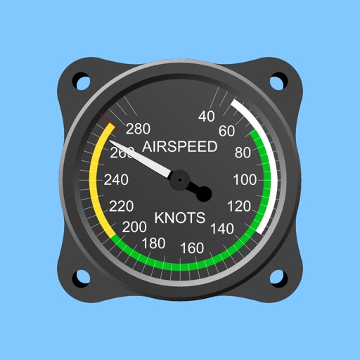
Calculate true airspeed, mach number, pressure altitude, and density altitude. Input indicated altitude and Kollsman window pressure setting. Automatically adjusts for standard sea level pressure.
by James Petty★ 4.18 ratingsUtilitiesFreeData updated 2026-09-09
Calculate groundspeed, true heading, compass heading, leg time, distance, fuel required, fuel flow, and endurance for flight planning. Convert airspeed, altitude, and temperature.
Calculate standard ISA including pressure, density, and temperature. Compute QNH altitude. Adjust MSA for off-standard atmospheres. Convert calibrated airspeed to Mach number.
Calculate pressure and density altitudes, true airspeed, and mach number. Determine wind correction angle and true heading. Compute crosswind, headwind, and tailwind. Find ground speed and flight time. Calculate fuel burn and cloud base.
Calculate -related conversions, fuel consumption, and navigation metrics. Perform arithmetic operations and unit conversions. Track time, distance, and speed. Sync with Apple Watch for real-time updates.
Displays current position via GPS with a map and sea level measurement in meters. Converts meters to feet using a calculator. Measures barometric pressure with a sensor for altitude tracking. Alerts for potential flooding.
Navigation provides flight planning and in-flight calculations. Users can customize quick access buttons, configure units, and manage blocks and airtime.
The app displays an aircraft's connection status, type, altitude, and airspeed when loaded in Flight Simulator or X-Plane. It requires the RemoteFlight Server utility for device connection.
Calculate fuel burn with altitude, distance, and wind adjustments. Generate time tables for loiter, transit, and efficiency planning. Adjust for varying altitudes and wind conditions. Input mission-specific data for accurate results.
Provide accurate GPS coordinates and altitude readings. Display direction and map integration. Enable location-based reminders and track movement routes. Adjust settings for different navigation modes.
Calculate ballistic trajectories with detailed data including 4000 cartridges and 3300 reticles. Visualize trajectories, compare different cartridges, and adjust for barometric pressure, altitude, temperature, and wind.
Navigation provides flight planning and in-flight calculations. Users can customize quick access buttons, configure units, and adjust keypads. Features include real avionics look, flight data entry, and performance calculations.
Measure atmospheric pressure and altitude using built-in GPS and pressure sensor. Automatically calibrate readings with local meteorological station data. Display current pressure and elevation levels. Save historical data for reference.
Calculate max speed cruise , true airspeed, pounds per hour, and NM/pound based on altitude and outside air temperature. Input values for Piper , M600, M700 Fury, and DLX aircraft. Reference performance tables and figures from specific POH sections.
Provides GPS altitude and pressure altitude readings. Displays speed in kph, mph, and knots. Measures barometric pressure in multiple units. Tracks acceleration in G forces. Shows location, magnetic, and true heading.
Control your vehicle remotely by starting the engine, adjusting cabin temperature, and locating your car. View fuel level, tire pressure, and odometer data. Schedule service and request roadside assistance directly from the .