The app measures distances, perimeters, and areas with precision over satellite images. It calculates surface areas, dimensions for fencing, and more without needing to be on location.
Arthur Eduardo Skaetta Alvarez Desenvolvimento de Software LTDA.
Distances and areas with GPS
Distances and areas using satellite images. Tap the map to add markers and calculate distances or enclosed areas. Search for addresses to locate measurement points. Support multiple units including square feet and square meters.
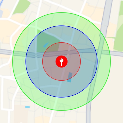
Visualize around map pins to compare distances. Set up to three per pin. Search locations and check nearby points of interest. Switch between standard and satellite map views. Automatically save pins for future reference.
The app plots areas on a map by adding landmark points or dropping pins. It calculates enclosed area and distances between points, with options to add interest points and photos.
Play on tropical islands with unique landscapes and characters. Customize swings, use power meters, and collect items. Unlock new courses and characters. Compete in mini-games and tournaments. Track progress and achievements.
Reserve tee times with 3 taps. Use GPS for course navigation. Track scores and view course social feed. Check reservations anytime. Redeem rewards or promotion codes.