Access real-time trail data for the 2025- winter season. View detailed trail maps, navigate trails with or without mobile data, and receive trail conditions and closures. Set waypoints and track progress along routes.
by Mapgears Inc.★ 5.02 ratingsNavigation$4.99Data updated 2026-09-06
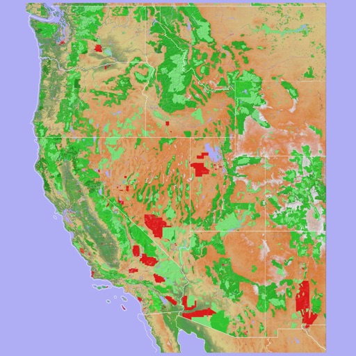
Navigate using a 3D topographic map of the USA and Hawaii. Access offline vector maps for navigation in vehicles or outdoors. Switch to online maps for global coverage with automatic caching. Explore locations with zoom and scroll features.
The app allows users to view and search points of interest including gas stations, tourist attractions, and accommodations. It also locates users on the map using GPS and suggests routes for exploring new trails.
Check ski resort details, view digital trail maps, and access real-time weather reports. Track snow conditions and livecams. Use GPS to record skiing activity and locate trails. Find up-to-date information on ski resorts.
Track location and map terrain with real-time GPS data. Create and save custom routes. Mark waypoints and measure distances. Share maps and routes with others. Sync with devices for offline navigation. View elevation changes and terrain details.
The app provides ski resort information including trail maps, weather, and snow reports. It also features GPS tracking to record skiing activity and analyze performance over time.
Check ski resort details, view digital trail maps, and access real-time weather updates. Retrieve snow forecasts and live mountain cam feeds. Track skiing activity with GPS and locate ski lifts and facilities.