Apps Like Good Earth:Stay ConnectedEarth for iPhone and iPad
Track location and view coordinates
Track location with live coordinates and altitude. Convert GPS data to readable addresses. Monitor speed and heading for motion tracking. Access real-time environmental data for navigation.
by 荐 梁★ 5.02 ratingsNavigationFreeData updated 2026-09-06
Plan flights with detailed aircraft profiles and radio frequency access. Calculate fuel requirements and flight times. Manage pre-flight checklists and weather data. Track in-flight performance and adjust routes as needed.
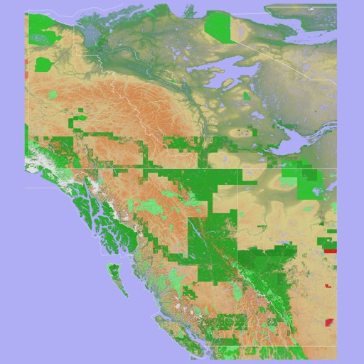
The app provides a 3D topographical map of Western Canada. Map data downloads to the device for use without an internet connection, allowing users to view terrain features as small as ten meters.
The app demonstrates Lorentz contraction, showing how an object's length shrinks at speeds near light. It also illustrates time dilation, where time passes slower for a moving object relative to a stationary observer.
Record driving routes with GPS tracking of distance, speed, and elevation. Replay trips, organize them in a Garage, and generate shareable links for private or public access.
Calculate Course to Steer and Speed over Ground using heading, boat speed, current set, and drift. Input Magnetic Variation for True and Magnetic compass readings. Visualize heading, current vector, and course on a 360º compass.