
Apps Like Good Earth:Stay ConnectedEarth for iPhone and iPad
Track location and view coordinates
Track location with live coordinates and altitude. Convert GPS data to readable addresses. Monitor speed and heading for motion tracking. Access real-time environmental data for navigation.
Ranked alternatives
Showing 781–800 of 1,000 ranked alternatives.



GPS Map Coordinates Locations
Sonani Bharatbhai
Find with precise
Find using GPS . Search for areas and retrieve accurate latitude and longitude. Switch between standard, satellite, and terrain map views. Calculate area measurements. Share via email or messaging.


Air Map Israel
Ofer Raanan
Locate aircraft and track position
Displays device location as a plane with speed, direction, altitude, and geo data. Allows adding markers at specified distances or times along the flight path. Tracks movement on the map.

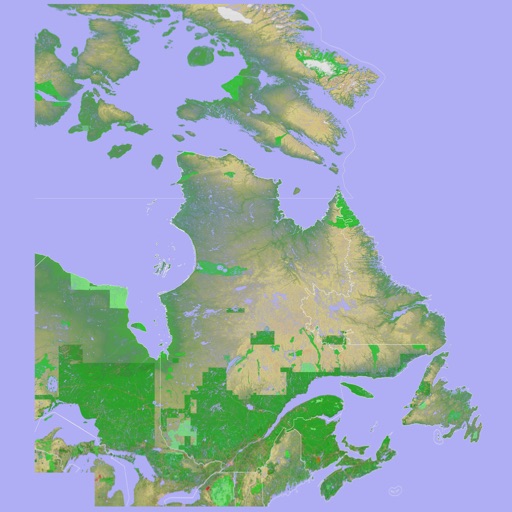
Scenic Map Eastern Canada
Mark Granger
3D topographic map of Eastern Canada
The app presents a 3D topographic map of Eastern Canada. Users can download map data for use without an internet connection, suitable for various travel methods.


i-Track
I-CONNECT, L.C.
Manage fleets with real-time data.
The app provides real-time updates on deliveries, including errors and location tracking via GPS. It also records customer signatures and allows drivers to photograph damaged deliveries or property.


MAPAS: Live Street View - GPS
Ela Bodar
Explore streets, zoom, and navigate globally
Navigate using real -level imagery with a single tap. Explore locations as if present, preview destinations, or revisit memories. Move between map views and immersive 360-degree scenes. No complex tools or clutter.


GPS Team 55
Kalimex-Consulting s.r.o.
Invite members and share real-time location
Invite members using a unique code without registration. Share or track locations in real time by enabling tracking. View each other's positions on a map and manage location sharing settings within the .
Charging point for EV Cars
WarthogLab
Find EV stations instantly
Find EV stations globally with real-time data. Search by provider, speed, or connector type. View interactive maps with location details. Navigate to stations with directions and estimated arrival times.


How we rank alternatives
Apps are ranked by functional similarity, category fit, rating confidence, and popularity.