Save and organize locations with titles, notes, photos, and voice memos. Create folders to group locations. Share across major map apps. Track and manage work sites, travel stops, or personal places. Set private access and view details.
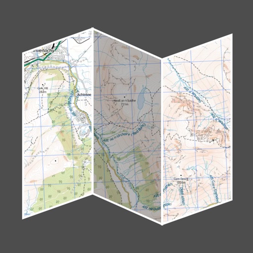
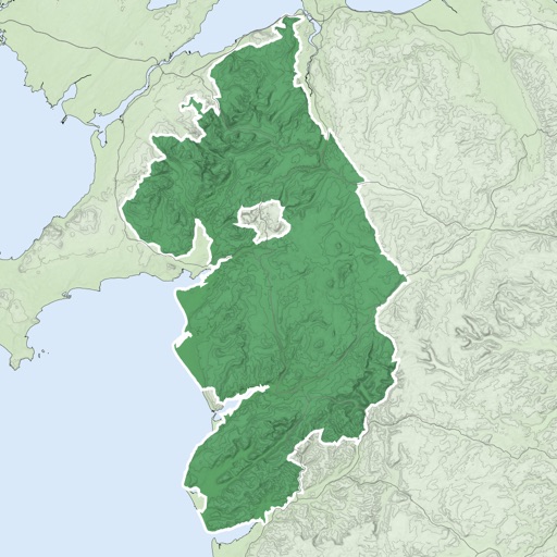
Provides interactive maps with lakes, rivers, and zones. Users can track routes using offline GPS navigation. The includes tools for marking locations and planning trips.
Trace paths on maps to analyze elevation, distance, gradient, and bearing. View elevation and grade profiles of traced routes. Calculate area of arbitrary paths. Use satellite or default map views for terrain study.