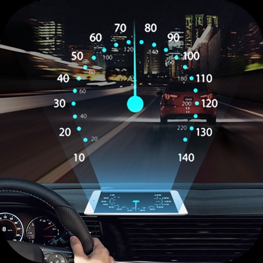
Projects speed, clock, weather temperature, cruise control, and now playing song information onto the windshield when iPhone is rotated and placed near the windshield. Displays data in landscape mode for easier visibility while driving.
Access real-time schedules and fares. View terminal cameras and vessel locations. Receive alerts for delays or changes. Check departure and arrival times. Navigate the Puget Sound with up-to-date information.
View hyperlocal 14-day forecasts with hourly updates. Access 80+ maps. Check and lightning detection. See 40,000+ webcam feeds worldwide. Lock forecasts, webcams, or to home screen widgets. Integrate with other apps for real-time updates.
Plan and track motorbike routes with customizable options for paved and unpaved paths. Share adventures and access 200,000 public routes. Log ride details and view maps with turn-by-turn .
Record and stream video from compatible dash cams during driving sessions. View event-triggered clips and live feeds. Receive alerts for hard braking and other driving events. Manage subscriptions and device settings through the .
Displays current speed in both miles per hour and kilometers per hour. Automatically switches speed units based on the country's standard. Shows real-time speed data from the device's sensors.
Control radar detector settings and monitor alerts in real time. Adjust sensitivity, mute alerts, and track signal strength. Sync with compatible Uniden R4 or R4w devices for advanced features like SpotLock 2.0 and False Assist 3.0.
Navigate with turn-by-turn directions using Google Maps or Mapbox. Play music from Apple Music or Spotify with large buttons. Listen to podcasts online or offline. Customize themes, button layouts, and colors.
Track speed, distance, altitude, and heading using GPS. View latitude and longitude coordinates. Monitor sunrise and sunset times. Record acceleration data. Save journey logs for later review. Share trip details via email or social media.
Navigate off-road with 3D and GPS guidance. Filter trails by vehicle type including 4x4, SxS, and dirt bikes. Locate legal camping areas using USFS verified data. View property boundaries and access accessibility information.
Navigate with real-time location details including , coordinates, speed, altitude, and compass. View an orientation-focused map that expands to full screen. Tap and hold to search for addresses or coordinates. Share location instantly via tap.
Display speed and heading with GPS accuracy. Show location of nearby speed cameras. Change speed units, prevent screen lock, and enable speed camera alerts in settings.