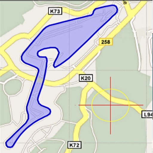
Area, lengths, and angles on maps using an interactive crosshair. Trace outlines to create connected points, updating area and perimeter in real time. Adjust radius for scaling features. View dynamic length and angle as you move the crosshair.
The app provides detailed maps for outdoor activities and work, including terrain, waterways, and property data. It offers features like offline maps, nautical charts, and GPS positioning for navigation.
Download for national parks and USGS topographic regions for offline use. Access 150 NPS park and 60,000+ topographic . Use GPS navigation without internet connectivity. Save for later use in areas with no data service.
Create and edit and drawings for home screen and lock screen widgets. Draw with Apple Pencil or finger, type with keyboard. Customize backgrounds, colors, fonts, and zoom for details. Combine text and drawings in one note. Share as images or text.
Navigate off-road trails by dropping waypoints and recording tracks. Explore curated trails and points of interest. Receive real-time hazard alerts and trail conditions. Download maps for offline use. Access detailed weather and elevation data.
Save and organize locations from Instagram and TikTok . Share to to create a list of to visit. View and manage saved locations with images and videos. Export or share saved locations for future reference.
Navigate trails and routes for hiking, biking, and running. Access detailed maps of national parks and coastal paths. Find local neighborhoods and new trails. Plan routes with turn-by-turn directions. View elevation profiles and track progress.
Plan routes by drawing on the map with finger swipes. Calculate total distance instantly. Track progress for hiking, walking, running, and other activities. View details for tourism, golf, and hunting. Sync with fitness apps for activity logging.
Plan trips by streaming maps over Wi-Fi or cellular. Search for locations like trailheads or mountain peaks. Navigate outdoors using a compatible device. View maps and plan routes without requiring constant internet connectivity.
Send notes directly to your email inbox with one tap. Attach photos or files in the pro version. Create sketches in the pro version. Sync notes with todo apps like Trello, Evernote, Wunderlist, Any.do, and Todoist.
Plan routes using detailed topographic and trail data. View points of interest for rest areas, food, and accommodations. Track progress with real-time navigation and route logging. Set waypoints and save custom trails for future trips.