

Apps Like Syncster FieldCam for iPhone and iPad
Ranked alternatives
Showing 81–100 of 1,000 ranked alternatives.

Timestamp Camera: GPS, Photo
Grzegorz Wojcik
Stamp photos and videos with time
Adds date, time, and location overlays to photos and videos. Users can customize text, images, and coordinates. Automatically stamps media with accurate time, date, and GPS data.
Photo to PDF Converter pic2pdf
Francesco Paciello
Convert photos to professional PDFs offline
Convert photos to professional PDF documents with two taps. Batch process multiple images at once. Work offline without internet connection. No ads or subscriptions. Export and share PDFs directly.
GPS Map Camera & Timestamp Cam
Milan Savaliya
Tag timestamps and locations to photos
Add time stamps, GPS coordinates, and exact addresses to photos and videos instantly. Enable grid, aspect ratio, switch, flash, focus, and timer settings. Store user locations automatically and reverse-geotag addresses.


Easy Photo Compressor: Resize
Osawa Shunsuke
Resize and compress photos quickly
Resize and compress photos with batch processing support. Convert between JPEG, HEIC, PNG, WebP, TIFF, and AVIF formats. Remove location data and EXIF information. Adjust image quality and resolution.



GIS Kit
Garafa, LLC
Cache maps, view data, explore terrain
View and analyze geographic data offline without GIS software or training. Download topographic, street, and satellite maps. Import ESRI Shapefiles and KML/KMZ files. Display attribute fields like descriptions, photos, addresses, and dates.


iGeoTrans X Lite
TRAN TRUNG CHUYEN
Record routes and collect field data
Record routes from specific locations to survey sites and display them on a map. Measure distances between coordinates or map points. Calculate areas using coordinate lists or map selections.

GPS Field Area Measure on Map
Anastasiia Kulias
Land areas with GPS
Calculate land using GPS coordinates. Draw shapes on maps to fields or plots. Add GPS stamps to photos with location, time, weather, and compass data. View live maps and magnetic information.

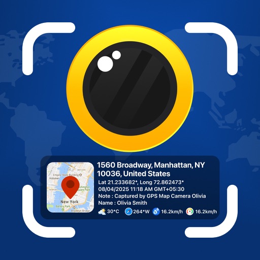
GPS Map Camera - Geotag Photo
Sejalben Nimeshkumar Savaliya
Photos and videos with GPS
Photos and videos with real-time location, date, time, latitude, longitude, altitude, and weather data. Capture timestamps during拍摄. View map-based location pins for each media file. Export geotagged files with embedded metadata.

EveryPlace - Where I've been?
Sergei Shpygar
Create travel maps and track visited places
Create and customize travel maps by marking visited countries, cities, and places. Add notes and photos to locations. Organize travel routes and collections. Track travel statistics. Share maps on social media.

GPS Map Camera Geotag Location
Nikhil Viradiya
Tagline
Photos with GPS data including , time, weather, and compass. Share geotagged photos with contacts. Add map markers, latitude, longitude, and altitude to images. Stamp photos with date and time. Sync data with captured photos.

Image resizer, converter iSize
VeprIT
Resize images, crop, transform, and print
Resize and crop images with precise aspect ratio control. Batch process multiple files for efficiency. Export in various sizes including @2x and @3x. Edit metadata and prepare images for social media or professional design use.
How we rank alternatives
Apps are ranked by functional similarity, category fit, rating confidence, and popularity.