Sends GPS coordinates, speed, course, and heading via WiFi, Bluetooth, or USB using 0183 protocol. Transmits data at set intervals. Automatically reconnects after disconnection. Displays last sent coordinates.
by Alexey Matveev★ 0.00 ratingsNavigationFreeData updated 2026-09-06
Log hunting trips with GPS tracking and map integration. Record deer sightings and activity patterns. Manage gear inventory and set reminders for maintenance. Share trip details with other hunters. Export data in multiple formats for later review.
Navigate using terrain-aware offline maps and star navigation. Access on-device AI for guidance without internet. Communicate via offline Wifi/Bluetooth Mesh for peer-to-peer coordination.
The app displays GNSS information including RMS values, PDOP, and differential status. It provides a built-in client for RTK or DGNSS corrections and allows user-configurable alarms.
The app records and shares GPS coordinates and field notes. It tracks user movement and provides GPS location services in multiple formats, including MGRS.
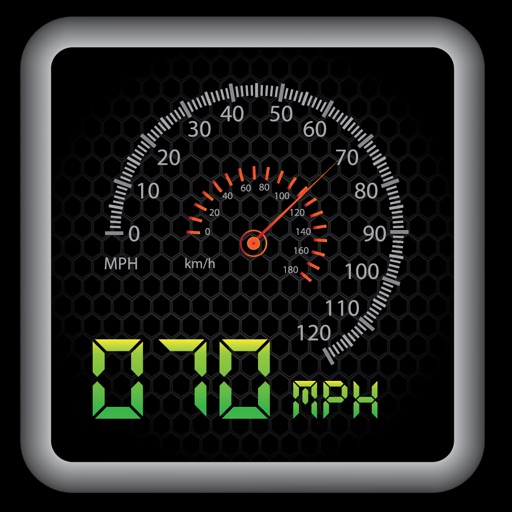
The app provides a heads-up display for a car, offering GPS-based speed information with MPH and KPH options. It includes digital and standard font modes, 12 and 24-hour clock options, and portrait and landscape orientations.
Track elevation and location using AI-powered and GPS. Access real-time weather forecasts based on barometric pressure. Use compass for direction and calculate sunrise/sunset times. View POIs and integrate with AI chatbot for contextual information.
LogGPS records GPS data including coordinates, altitude, speed, and accuracy when the save button is pressed. Users can add notes, edit or clear them between saves. Data is stored with timestamps and can be reviewed later.
Store locations, track coordinates, save snapshots
Store custom locations mapPoints. Add current , addresses, coordinates, or pins. Save snapshots of locations for travel, hunting, or . View and manage stored on a map.