Locate utilities and record positions with pinpoint
Locate underground and above-ground utilities with pinpoint mapping. Record and manage data points for infrastructure. Export data or relocate previous map entries. Answer location-based questions about services or damages.
The app records GPS tracks, allowing users to save routes and add photos, videos, and voice notes. Users can share routes with others or upload them to the cloud for discovery by a global community.
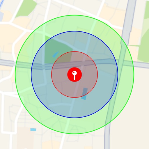
Visualize around map pins to compare distances. Set up to three per pin. Search locations and check nearby points of interest. Switch between standard and satellite map views. Automatically save pins for future reference.