Plan trips to parks by downloading , brochures, and newspapers. Explore 80+ parks, 500+ campgrounds, 2,600+ trails, and 73,000+ points of interest. Access 60+ folded from federal and state agencies. Navigate without WiFi in wilderness areas.
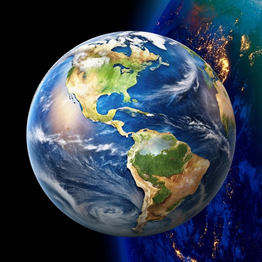
View high-definition 3D globe and latest satellite imagery. Load map tile data for detailed terrain and urban features. Use oriental compass for direction. Access historical street view for past locations. Measure area and distance on .
Navigate trails with detailed maps of 365+ systems and mud parks. View satellite imagery and add custom markers. Search for trails, cities, and points of interest. Record and share rides. Import trails in .kml, .kmz, and .geojson formats.
Find hiking , bike routes, and nature spots in major cities. Get turn-by-turn directions by foot, bike, car, or public transit. Download maps and guide content for offline use.
Navigate slopes with 3D trail maps styled for winter. Track live friend locations and view public/private leaderboards. Log detailed stats, check lift wait times, and access offline maps. Sync with wearable devices for real-time performance data.
Find routes with real-time traffic updates and voice-guided . View 3D aerial and use a digital compass for orientation. Plan trips with AI-generated itineraries and track progress toward destinations.
Distances and areas on satellite maps. Select objects like lawns, roads, and buildings. Save and share measurements. Export data in various formats. Sync with other apps for project planning.
Distances and areas on satellite maps. Select points to calculate length or size. Save measurements and share results. Compatible with various map views and zoom levels.
Measure distances and angles using a rangefinder and inclinometer. View GPS coordinates and map overlays. Take geo-tagged photos and videos. Use a compass and navigation calculator for orientation and route planning.