Apps Like Maplet - Location Pins for iPhone and iPad
Save locations with and notes
Save and organize locations with titles, notes, photos, and voice memos. Create folders to group locations. Share across major map apps. Track and manage work sites, travel stops, or personal places. Set private access and view details.
by Gemsheer Chalil★ 2.52 ratingsNavigationFreeData updated 2026-09-06
The app measures distances, perimeters, and areas with precision over satellite images. It calculates surface areas, dimensions for fencing, and more without needing to be on location.
Save locations for quick access. View all saved locations in one place. locations via links or maps. Navigate using Apple Maps, Google Maps, Yandex, and Waze.
Plan public transport journeys by searching for routes or stops. View real-time locations of trams, metros, and trains in the capital region. Find stops via map or list. Check departures or full timetables.
Track income and expenses with clear categorization. View account balances and transaction history. Set budgets and receive alerts. Export data and sync across devices. Manage finances offline with secure data storage.
Find hot across the USA with detailed location data. View temperature, local weather, nearest city, and search results. Access offline maps and monthly updated database. Tap to see driving distance and time from your location.
Real-time 3D maps with GPS navigation. Access HD views for current locations and addresses. Get driving directions and traffic updates. Receive voice-guided routes for navigation. Sync with global earth map for location-based insights.
Create unlimited maps and add pins, emojis, and images to each. Share maps with friends via code. Never forget locations with visual markers and personal notes.
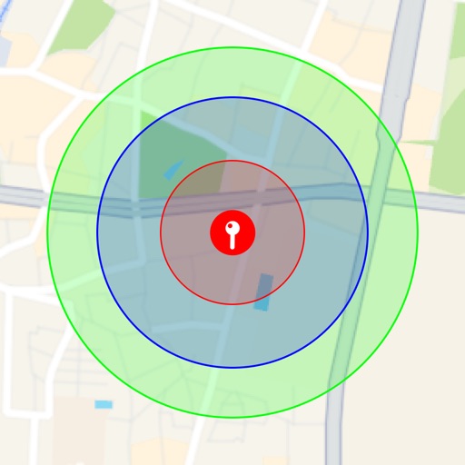
Visualize around map pins to compare distances. Set up to three per pin. Search locations and check nearby points of interest. Switch between standard and satellite map views. Automatically save pins for future reference.
Create and navigate custom routes with multi-stop routing. Manage waypoints and record tracks from rides. Save and review recorded routes for future reference.
Check current using internal GPS and Wi-Fi data. View latitude and longitude in decimal degrees, degrees decimal minutes, and degrees minutes seconds. Suitable for trips, sports, geocaching, and solo travel.
Track university buses in real time and view arrival times at stops. See your location relative to buses and stops. Get directions to nearby stops. View incoming buses at your stop. Save favorite stops for quick access.