View real-time radar and satellite imagery for weather tracking. Explore interactive maps with vertical and horizontal views. Access color-coded alerts by severity. Check the Road Weather Index for road conditions.
Monitor solar activity and its impact on Earth. Track earthquake events and high-risk areas. Access 80+ solar video streams and 30+ real-time data feeds. Receive alerts for potential events and planetary disturbances.
The app provides real-time river data including height, discharge, and temperature from USGS gauges nationwide. Users can view historical trends, save selected locations, and monitor flood-stage information for recreation and property awareness.
The app provides a reference guide to earthquakes worldwide from multiple sources. It displays earthquake data on an interactive map and in sortable lists, allowing users to view details and share information.
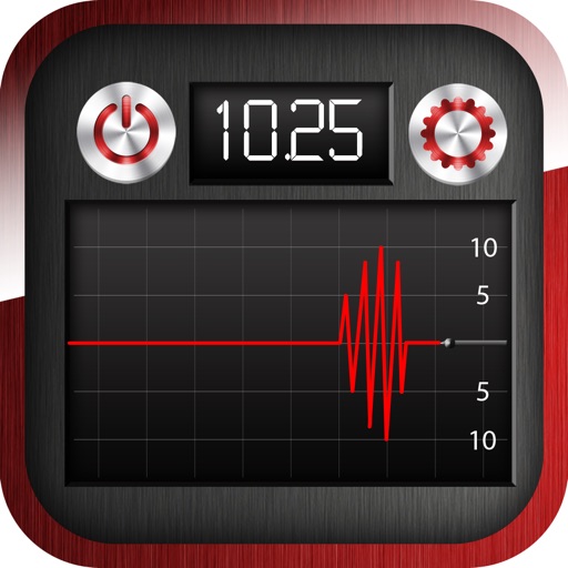
The app measures vibration using phone sensors, functioning as a seismograph or seismometer. It displays a reference value and allows calibration for optimal readings.
View earthquake data from the past 24 hours with filters for location, magnitude, and time. Tap for details and maps. Use cluster mode to visualize swarms. Scroll through events using the timeline feature.