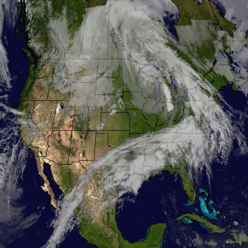
The app displays world rain radar, satellite imagery, and earthquake data on a Google Map. It provides weather information including temperature, wind, humidity, pressure, and cloud coverage, along with forecasts.
The app displays high-resolution rain cloud information overlaid on a map of Japan. Users can also check lightning information and look up weather forecasts for any location.
View live radar and historical images. Track clouds, dust, and fog from satellite data. Monitor lightning activity. Access precipitation forecasts for hours and days from multiple models. Overlay forecasts on . Share weather data with others.
View turbulence forecasts, radar reflectivity, cloud top heights, and convective threat data. Plot flight paths using touch gestures or navaid inputs. Load existing flight plans with flight IDs. Share weather data with pilots and flight planners.
View real-time with a dynamic, ever-changing world that reflects current conditions. Track precipitation, temperature, and wind. Receive accurate forecasts using Dark Sky data. Customize the environment with interactive elements.
The app provides hour-by-hour and ten-day forecasts. It includes radar with detailed overlays and local weather conditions from the KOMU 8 First Alert Weather team.