Track with real-time predictions and interactive maps. View orbits, identify the International Space Station, Hubble Space Telescope, and other satellites. Set location and time for accurate pass information.
by One Venerate Limited★ 0.00 ratingsEducation$1.99Data updated 2026-09-06
The app computes satellite ground tracks and visibility for multiple ground stations. It plots satellite positions, ground tracks, Sun and Moon positions, and day/night regions on Earth.
Access airport information including NOTAM, SNOWTAM, METAR, and TAF reports. Search by city, name, or identifier. Save personal notes for frequently visited . View data on iPad and iPhone. Includes a database of over 27,000 .
Find sky locations free from for stargazing and photography. View aurora borealis maps, meteor shower alerts, super moon and lunar eclipse notifications. Track moon phases, monitor magnetic field data, and track the international space station.
Simulate space approach and landing with realistic flight physics. Navigate orbits, interact with tutorials, and choose White Sands as a landing site. View detailed cockpit instruments and adjust flight parameters for accurate simulation.
The app provides North American weather imagery, allowing users to animate it at their own speed. Users can swipe backwards for satellite photos and forwards for a week of forecast images showing upper air features and precipitation.
View coordinates for celestial bodies including planets, the Moon, the Sun, stars, and deep sky objects. Check if objects are above the horizon with a green icon. Click to access detailed information.
Build and customize rocket ships by selecting and connecting parts like engines and fuel tanks. Test designs in realistic physics simulations. Explore the solar system and manage fuel consumption during missions.
Track the Space Telescope’s mission with real-time updates and news. View high-resolution images and scientific data. Explore telescope specifications and mission milestones. Receive alerts on major discoveries and events.
Track routes using GPS navigation, pause and resume routes, and view route statistics. Log finds with details like name, category, and location. Take photos of finds. Toggle between satellite, hybrid, and standard maps.
Watch daily Mass and programming. Pray the Holy Rosary. Access Catholic content and updates from America's Catholic Television Network. View schedules and stream live events.
Measure distance by dropping pins or drawing paths on a map. Calculate total distance and segments between locations. Search and auto-complete locations. Use current location. Save and share custom maps. View Standard, Hybrid, or Satellite map types.
The app provides Oklahoma weather information from the Oklahoma Mesonet, including real-time observations from 120 stations across the state. It offers forecasts, radar data, and advisories for various weather conditions.
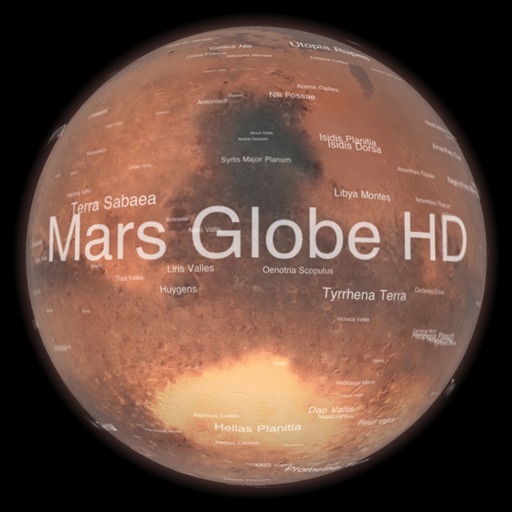
Explore with a high-resolution satellite map and topographic lighting. View over 1500 annotated surface features with detailed information and links. Navigate the virtual freely or follow a guided tour.
Access real-time bus tracking, class schedules, and grades. View campus building directories and parking garage capacities. Check BuckID account balances and transaction history.