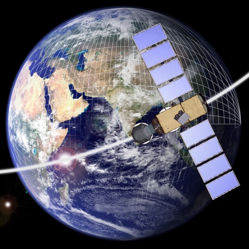
The app computes satellite ground tracks and visibility for multiple ground stations. It plots satellite positions, ground tracks, Sun and Moon positions, and day/night regions on Earth.
by GerSpatial★ 0.00 ratingsEducation$49.99Data updated 2026-10-11
Explore satellites that monitor weather and climate change using augmented reality. Complete missions to learn about satellite instruments, data transmission processes, and their role in weather forecasting.
Track positions in real-time with precise, instant calculations. View over 5000 satellites and their current locations. No offline sync available due to data volume and frequency updates.
Build and customize rockets to explore a realistically scaled universe. Navigate using real orbital mechanics and travel to distant planets and objects. Interact with Mercury, Venus, Earth, the Moon, Mars, Phobos, and Deimos.
Design and explore satellite orbital geometry interactively.
The app lets users design and explore satellite orbital geometry using an iPad's multi-touch interface. Users can manipulate orbits with gestures, see real-time effects on orbits and ground tracks, and animate results.
Identify stars, constellations, planets, and satellites using augmented reality. View celestial objects with detailed information. Track movement of planets and satellites. Adjust settings for different sky conditions.
Identify stars, constellations, and satellites by pointing device at the sky. View detailed information about celestial objects. Access additional content through in- purchases. Sync with Apple Watch for notifications.
Guide users to align dishes using GPS for accurate direction. Display positions and help locate the signal. Provide step-by-step instructions for dish installation and signal optimization.
Track satellites in real time with world map and overhead sky views. Identify satellites and the International Space Station with orbit . Determine dish orientation for geostationary satellites using GPS. View passes for any location.
Explore parks with interactive maps, self-guided tours, and on-the-ground information. Download parks offline for use without internet. View trails, points of interest, and essential details.
Track flyovers of the International Space Station, Tiangong, and Hubble Space Telescope with 3D visualization and live positioning. Predict up to 30 days ahead with location-based pass times and a 0–4 star rating system for visibility.
The app provides real-time tracking of the International Space Station. It offers visible and 24-hour pass predictions with alert notifications for overhead passes.
Create and launch potato-based devices and probes using manual clicks and time. Unlock fifteen starchy items. Explore a mysterious planet and satellite. Progress through a narrative-driven sci-fi clicker game.
The app renders the Moon in realtime 3D using satellite imagery and topographic data. Users can manipulate the view, adjust sunlight, and see labeled terrain features and spacecraft.
Track satellite passes using augmented reality. View the International Space Station, Starlink Trains, and other satellites in real time. Overlay positions on the night sky via iPhone or iPad camera.