Track with real-time predictions and interactive maps. View orbits, identify the International Space Station, Hubble Space Telescope, and other satellites. Set location and time for accurate pass information.
by One Venerate Limited★ 0.00 ratingsEducation$1.99Data updated 2026-09-06
Identify landmarks, cities, natural sites, and UNESCO World Heritage sites from satellite views. Choose from 190 landmarks, 168 cities, 109 natural sites, and 651 UNESCO sites across 10 countries. Zoom in and out to examine details.
Explore time and space through cyclical patterns and metaphysical principles. Track the rise and fall of Heaven and Earth over time. Navigate the movement of Wind and Water through spatial dimensions.
The app explores six simple machines: levers, pulleys, inclined planes, wedges, wheel and axles, and screws. Kids can experiment with real-world physics, learning about force, motion, actions, and reactions.
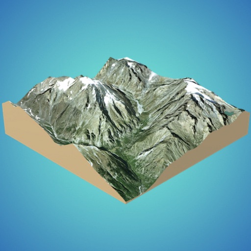
Answer questions about geography and landmarks using map data. Locate features like cliffs, towns, and peaks. Check altitudes and distances. Find nearby campsites and mountain refuges. Identify glaciers, lakes, and celestial bodies on the map.
The app presents a multistep thinking game where players unfold colored tiles to fill empty cells. It offers word-free problem solving suitable for all ages and graphs user progress.
Explore real-time satellite data and simulations of Earth's systems using a Cube. Rotate 3D models of the planet, view atmospheric layers, and track weather patterns.
University of California, Berkeley's Lawrence Hall of Science
Explore solar phenomena with hands-on activities
Explore the Sun through 15 hands-on activities. Measure the Sun's size, create solar ovens, and study shadows in Moon craters. Learn about solar energy and Earth's relationship with the Sun through interactive experiments.
Access airport information including runway details, facility data, and operational hours. Search by city, name, or code. Save favorite airports and set a home base for quick access. Browse airports by continent, country, and region.
Explore astronomical objects and topics with interactive 3D models and augmented reality features. Take quizzes with 300 questions across various difficulty levels. Learn about comets, the solar system, and galaxy clusters through immersive content.
Create 3D models from online sources like Bing Maps or local cloud points. Export data as CSV, TXT, STL, or OBJ. Modify models by cutting, scaling, and animating. Calculate surface areas and volumes in real-world units.
Tool provides communication frequencies and runway details for major U.S., Hawaii, and Alaska airports. Filter by state or type. Search by name or IDENT code. View runway configurations and approach information.
Networking fundamentals and advanced concepts through structured tutorials. Access -related content . Review topics for certification preparation. Test knowledge with quizzes and practice exercises.
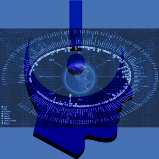
Provides information on geostationary satellites through structured tutorials. Explains satellite functions, orbital mechanics, and communication roles. Includes diagrams and technical specifications for educational understanding.