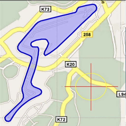
Area, lengths, and angles on maps using an interactive crosshair. Trace outlines to create connected points, updating area and perimeter in real time. Adjust radius for scaling features. View dynamic length and angle as you move the crosshair.
Objects, lengths, angles, areas, and heights using augmented reality. Switch between metric and imperial units. Take screenshots, use flashlight, and draw clear measurement lines. Perform single or chained measurements and estimate person height.
Measure angles with using a digital protractor. Capture and analyze images for calculations. Export results and share measurements directly. Sync data across devices for consistent tracking.
The app measures relative angles and rotation using the gyroscope sensor. It offers five unit modes, background or foreground display rotation, and fine calibration of the gyrometer.
Detects metal objects by measuring magnetic field strength in microtesla. Displays real-time magnetic field levels. Alerts users when metal objects are nearby. Provides reference values for Earth's magnetic field.
Capture building dimensions and areas by taking a single photo. Measure walls, roofs, windows, and doors accurately. Export measurements and save project data for future reference.
Monitor , air pressure, and oxygen levels in real time using GPS and sensor data. Customize theme and background. Track environmental changes with precise measurements and dynamic updates.
Access real-time images from the TrueDepth camera for low-light photography. Pan the display to face angles from different perspectives. Switch between 3D and 2D views to see depth data alongside the original image. Save 3D face photos directly.
Measure with real-time readings and +/- 1 dB accuracy. Log and analyze noise data over time. Set custom thresholds and receive alerts. Export measurement logs in various formats. Sync data with cloud storage for long-term tracking.