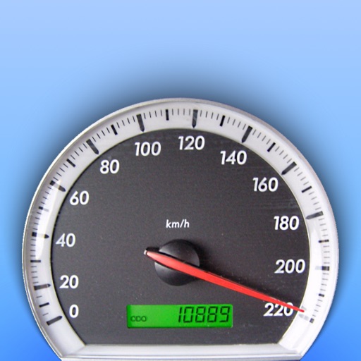
GPS displays speed, altitude, and track data with real-time profiles. Logs activity in sleep or background mode. Stores recorded tracks for analysis and map display. Shares tracks across devices via iCloud.
Track trips with GPS for precise route recording and real-time location updates. Start and stop tracking with one tap. Log driving habits and business mileage. Sync data across devices and view detailed trip summaries.
The app provides detailed attribute information for islands, including names, location, area, population, and more. It references data approved by the Geospatial Information Authority of Japan.
The app provides access to device GPS functionality, displaying heading, compass, map views, speed, distance, coordinates, and altitude. It also offers weather information including temperature, humidity, pressure, cloud cover, and wind speed.
Monitor vehicle performance with real-time engine data, speed, and sensor readings. Receive alerts for anomalies and track diagnostic trouble codes. Sync with CarPlay or smartphone via Bluetooth. Supports iPad as standalone device.
Configure and customize product settings, including lighting preferences and safety features like fall alerts. Adjust settings according to user needs. Monitor and manage devices for personalized driving safety.
Trips with modes for walking, , and biking. View speed, distance, and elevation via GPS. Use HUD mode to display speed on the windshield. Monitor odometer and altimeter readings. Export trip data and set distance alerts.
Measure speed using GPS with a digital , head-up display projection, and tracking of average speed, distance, and travel time. Log data offline, adjust settings, and access a user-friendly interface for one-handed use.
Automatically records trips when driving starts, capturing distance, route, speed, and other details. View trip summaries upon arrival. Track personal or business driving data without manual input.