Automate aerial mapping with DJI drones to capture high-resolution images for 3D models. Set paths, monitor progress, and generate maps and models automatically. Compatible with DJI Phantom 3, Phantom 4, and Inspire 1 series drones.
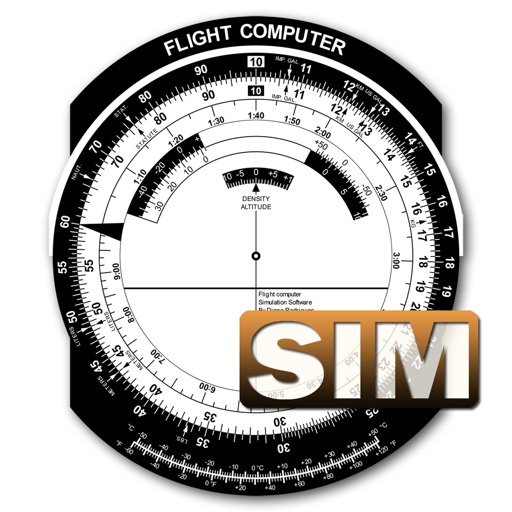
A utility simulates an E6B slide ruler for aircraft pilots. Perform conversions, wind corrections for low and high speed. Rotate, slide, and pinch zoom for precise control. Includes three calculation modes.
Learn and practice IFR flying with a simulator that allows setting up custom navigation aids, aircraft position, speed, and movement. Adjust runway direction, wind conditions, and use instruments like VOR, HSI, DME, and RMI.
Control drones via a remote connection. View live video streams and share them with incident commanders. Log flight data automatically. Adjust drone settings and monitor battery life in real time.
Manage flight schedules and pilot log books. Receive notifications and access news updates. View photos, videos, and social media links. Connect to the main website for additional resources.