View and edit custom maps, manage geographic data, and perform measurements. Support offline map downloads, track locations, record photos and videos, and share memories. Includes tools for surveying, cartography, and planning trips.
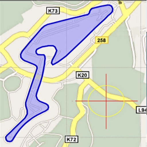
Area, lengths, and angles on maps using an interactive crosshair. Trace outlines to create connected points, updating area and perimeter in real time. Adjust radius for scaling features. View dynamic length and angle as you move the crosshair.
Distances and angles using augmented reality and on-screen rulers. Tap to mark points and calculate lengths. Export measurements as text or image. Sync with other devices for collaborative projects.
Measure objects by aligning them with the screen. Calculate furniture sizes for space planning. Use AR to scan rooms and get perimeter and square footage.
Track routes for hiking, running, cycling, and other activities with GPS. View recorded paths on maps. Save favorite locations for quick access. Measure distance, speed, and elevation. Export data in various formats.
Arthur Eduardo Skaetta Alvarez Desenvolvimento de Software LTDA.
Distances and areas with GPS
Distances and areas using satellite images. Tap the map to add markers and calculate distances or enclosed areas. Search for addresses to locate measurement points. Support multiple units including square feet and square meters.
Measure distances to objects using the lens. Display distance on the image with a 3D grid overlay. Aim at objects to determine their height or depth. Use for measuring boats, buildings, or golf aids.
Display current location and customizable info on large text screens. Create waypoints using location, crosshairs, or coordinates. Organize waypoints into overlays and navigate to them with arrows or maps. Track movement and view location details.
Distances between points or calculate area of locations. Draw paths on maps or tap to add points. Record movement automatically while walking, running, or cycling. Save measurements for later review.
Edit and convert PDFs with AI-powered tools. Chat with PDFs, translate documents, and detect grammar or AI-generated content. Summarize text, scan pages, and annotate files. Share and export in various formats.
Allows users to calculate distance and area using GPS. Tap to start and stop tracking automatically as you move. Manually input points to specific areas. Save and share measurement data.
Plan and execute drone flights with pre-programmed missions. Capture and view high-resolution aerial images and videos. nd share interactive maps, orthomosaics, and 3D models. Manage data and settings directly from the mobile device.