Displays altitude, coordinates, and speed with options for metric or imperial units. Shows accuracy and warns about signal issues. Offers aircraft mode with in feet. Compares current altitude with known values. No ads or data collection.
View PDF, TIFF, KAP, and KML files. Sync with iCloud, Google Drive, OneDrive, and Dropbox. Add placemarks, record tracks, and draw shapes. Share annotations in real time. Use tools like theodolite and georeferencer for map editing.
Measure areas and distances using GPS with real-time accuracy. Calculate land plots, fields, or property boundaries in multiple units including square meters, square feet, and acres. Add multiple points on a map to define custom shapes.
The app allows users to record Points, Lines, and Areas with descriptions. It can view distances and areas, record tracks, and organize data in Topic layers.
The app organizes location data into sets and groups. It displays and converts between coordinate formats, allowing for custom properties and map overlays.
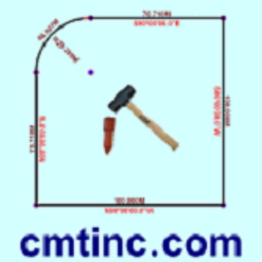
The app converts real property descriptions into boundary maps, displaying angles, distances, closure error, area, and perimeter. It offers stakeout functions for deed plots and individual points, with optional navigation beeps and GPS toggling.
View and analyze satellite hotspots and GPS data. Access topographic maps and AAHS/NWCG symbology. Import GeoPDF files. Use fire behavior calculators to assess conditions. Track location and monitor fireground activity in real time.
Lets users calculate the , perimeter, and length of horizontal or vertical shapes. They can edit or delete edges, take photos, and copy measurements to the clipboard.
Track aircraft using real-time data from multiple air traffic sources. Display flight paths, altitudes, and speeds. Customize map views and set up alerts for specific aircraft. Connect to dump1090, tar1090, or Virtual Radar Server.