Track flights in real-time with detailed global air traffic radar. View paths, aircraft positions, and details instantly. Switch between airports or select specific airlines to monitor their flights.
Monitors driving behavior using smartphone sensors and GPS. Tracks trips and logs driving data. Provides feedback to improve driving safety. Sends reports to insurance companies for policyholders. Reduces battery use with low-power sensing.
Explore properties using 3D visualization and detailed data cards. View terrain topography with contour lines. Identify and map properties with ease. Check fiber optic availability and groundwater details. Access property data with one tap.
The app provides pilots with flight plan access, weather information, and airport charts. Users can view METARs, TAFs, NOTAMs, and winds aloft for airports, and access flight plan packages.
Access real-time and TAF reports for accurate aviation weather data. View wind speed, visibility, temperature, and cloud coverage. Set location preferences and receive updates. Share reports via email or messaging.
Plan trips by organizing flights, accommodations, and activities in one place. Create itineraries with automatic email imports and offline functionality. Sync reservations and set reminders for details.
The app offers worldwide flight planning and in-flight navigation for iPad and iPhone. It provides flight plan creation, navigation data, and moving map features for various aircraft types.
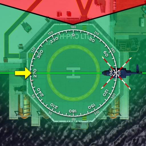
The app implements the PC2 DLE procedure for offshore helicopter operations. This procedure minimizes exposure and risks during take-off and landing, enhancing safety for operators.
Order a taxi with a single tap. Pay by credit card or cash. View estimated ride costs. Choose preferences like car type, quiet ride, or pet-friendly options. Communicate with drivers via or phone. Select professional drivers. Book economy rides.