Apps Like GPS Area Measure: GLandGo for iPhone and iPad
Measure land and distance
Measure land , distance, and perimeter using GPS. Create projects, add team members, and sync measurements in real time. Set permissions for different roles and collaborate on shared projects. Export data and view detailed reports.
by 4Digsoft Technology Limited★ 4.632 ratingsUtilitiesFreeData updated 2026-09-06
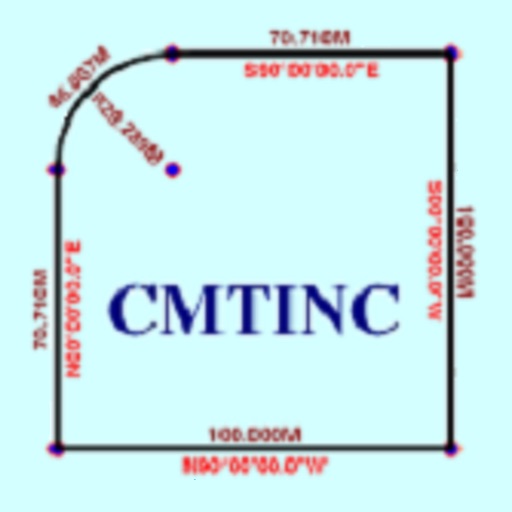
The app converts real property descriptions into boundary maps. Users enter angles and distances to draw property boundaries, displaying closure error, total area, and perimeter.
CEBINDEKI PAZAR E-TICARET ALISVERIS HIZMETLERI SANAYI VE TICARET LIMITED SIRKETI
Speed in mph, km/h, and knots
Display current speed in mph, km/h, or knots with large fonts. Show traveled distance and optional average/max speed. Include city name and compass. Use GPS for accurate speed tracking. Switch between base maps for driving visibility.
Track routes by enabling location and pressing record to start while walking or riding. Stop recording to suspend, pause to add new sections, and manage segments by connecting gaps or removing points. Relocate the entire as needed.
Turn your iPhone into a , angle gauge, and measuring . Check if surfaces are or plumb. Get real-time tilt readings in degrees. Calibrate to align with objects. distances using the device's sensors.
Track speed, average speed, maximum speed, and directional speed. Measure velocity made good and wind speed. Calculate the Pilot Performance Index to assess flight performance. Compare results with others or against autopilot settings.
Collect and map field data with customizable forms and attributes. Capture data offline or online. Transfer data to desktop GIS platforms. Edit and manage attributes directly in the field. Sync data with preferred GIS software.
View detailed maps of Norway with accurate trails, sea routes, and city navigation. Search locations and addresses. Use GPS for auto-rotating maps and compass. Download maps for offline use. No advertisements.
The app organizes location data into sets and groups. It displays and converts between coordinate formats, allowing for custom properties and map overlays.
Measure color temperature in Kelvin with ±2-8% accuracy. View color spectrum from 360nm to 800nm. Display RGB values and luminance. Save and export measurement data. Compare light sources side by side.
Measure heights of mountains and buildings with ±0.5m accuracy using the device's sensors. View current barometric pressure. Compatible with iPhone 6, iPhone 6 Plus, and iPad Air 2.
Turn your iPhone or iPad into an outdoor GPS or marine chart plotter. Use detailed Topo maps or NOAA marine charts for navigation. Access maps offline without a network connection. View GPS location without mobile signal.
Plan and respond to chemical incidents using plume dispersion models integrated with Google Maps. Access real-time meteorological and gas sensor data. View and analyze hazard scenarios with the ALOHA® model.