Explore aircraft systems with interactive diagrams
Learn about aircraft systems and limitations through organized chapters based on the POH. Explore interactive diagrams to tap on components and see system changes.
Pilots can retrieve information by defining departure and destination airports. Apply filters to narrow results. View NOTAMs in text format or on an interactive map. Translate NOTAMs into multiple languages.
Manage flight data with in-flight metrics like relative wind, hover ceilings, density altitude, power limits, Vne, and more. Calculate weight and balance for multiple helicopter models.
Control drone flights with automated missions, semi-automated workflows, and manual controls. Set waypoints, orbits, and vertical mapping. Preview missions in 3D. Support for DJI and Autel drones.
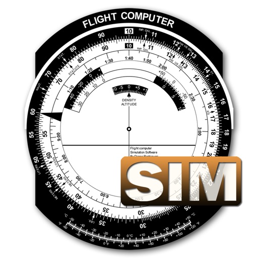
A utility simulates an E6B slide ruler for aircraft pilots. Perform conversions, wind corrections for low and high speed. Rotate, slide, and pinch zoom for precise control. Includes three calculation modes.