Navigation provides GPS tracking, map navigation, and route planning. Includes tools, field manuals, and live conflict updates. Users can access guides, track locations, and receive real-time news.
Track current with coordinates, altitude, and address. via Facebook, Twitter, Mail, Message, or copy to paste elsewhere. Use compass mode to determine direction. Toggle between Standard and Hybrid map types.
Track trails with precise GPS mapping and save waypoints. Measure distances and elevation changes. Share routes and view real-time navigation updates. Sync with other devices for collaborative exploration.
View detailed maps of Norway with accurate trails, sea routes, and city navigation. Search locations and addresses. Use GPS for auto-rotating maps and compass. Download maps for offline use. No advertisements.
Display a floating arrow indicating the direction to Sagittarius A, the supermassive black hole at the center of the Milky Way. Update direction based on time of day, location, and Earth's orbital position.
Track pot depths, locations, and catch totals. Access NOAA marine maps with water depth data. Navigate to pots using map and compass. View heatmap modes for map navigation. Add notes to individual pots.
Display GPS coordinates in DMS, DDM, or DD formats. Show altitude in feet or meters. Track speed with a speedometer. Share coordinates. Switch between magnetic and geodetic north. Use flashlight for nighttime. Provide location data.
Measure altitude, latitude, and longitude in real time. Display current direction using a compass. Show location with map-based coordinates and address. Share photos with altitude data on social networks.
Turn your iPhone or iPad into an outdoor GPS or marine chart plotter. Use detailed Topo maps or NOAA marine charts for navigation. Access maps offline without a network connection. View GPS location without mobile signal.
Display current direction, altitude, latitude, and longitude. Show real-time barometric pressure and movement speed. Track geographic location. Switch between "Classic" and "Sunset" visual themes with premium color schemes.
Displays current with large, clear indicators. Shows both true and magnetic north. Features a minimalistic interface with a prominent display. Offers free navigation without additional costs.
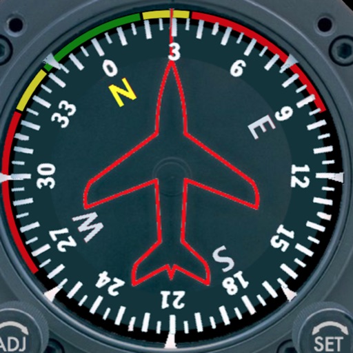
Displays a photorealistic -style indicator with both analog and digital readouts. Users can toggle rotation lock, simulate the instrument indoors, and view improved graphics. Supports latest iOS versions and includes bug fixes.
Save custom locations for easy access. Choose between Google Maps, Apple Maps, or Waze for navigation. Navigate offline without an internet connection. Sync locations across devices. Share saved spots with others.