Navigation allows users to view and download marine charts automatically from NOAA and US Army Corps of Engineers. Create waypoints, routes, and tracks. Use night color modes and anchor alarm. Access weather data and chart measuring tools.
The app provides over 70,000 topographical maps from Natural Resources Canada and USGS. Users can view maps and search for over a million features without a network connection after downloading.
Navigation allows users to view and share GPS coordinates in six formats. It includes a , altitude, distance, and sunset/sunrise tracking. Users can set and edit waypoints with photo or audio notes.
Plan trips with offroad and trail data. Access offline GPS navigation and camping locations. Find fuel and water resupply points. Connect with local users and join events. Track routes and share trip details.
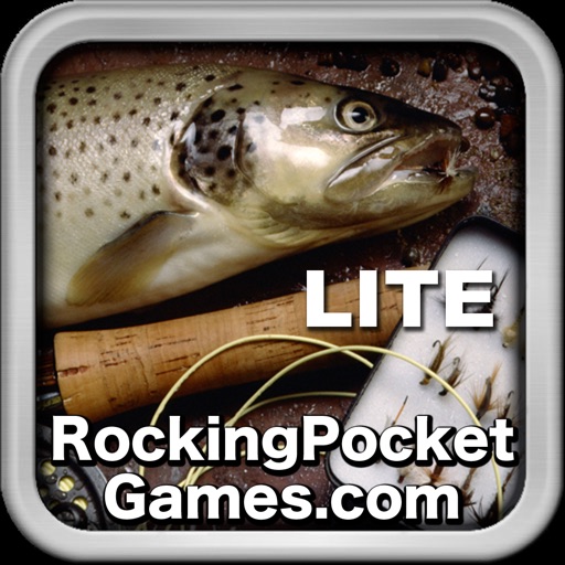
The app allows users to fish for trout and other freshwater species in rivers and streams. Users can use the iPhone's accelerometer to cast and fight fish, and share catches on social media.
View high-resolution NPS of and Grand Teton National Parks. Track real-time location on . Download USGS topographic for offline use. Access detailed terrain and park boundaries without internet.
Plan rides using snap-to-destination navigation. View vehicle service history and maintenance reminders. Schedule service appointments. Access vehicle and riding details for trip planning. Connect with a community for riding tips and support.
Allows users to browse , search locations, save favorites, and use turn-by-turn . Premium subscription enables traffic-aware routing, activity recording, offline , and elevation map views for terrain clarity.
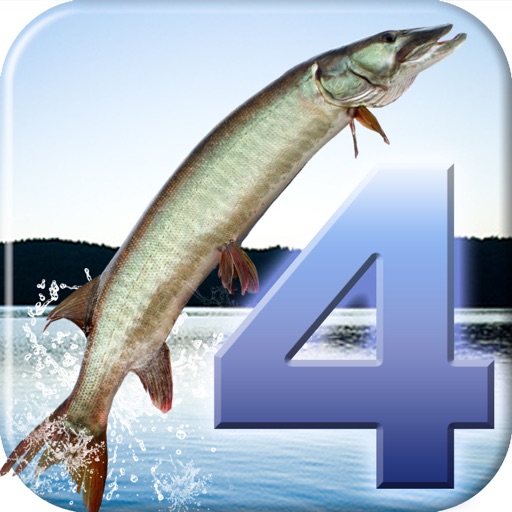
Catch and sell fish in realistic environments with detailed backgrounds and lifelike fish. Upgrade boats with motors and trolling equipment. Buy and sell lures, boats, and lakes in career mode. Explore both freshwater and saltwater locations.
Navigation allows users to load custom charts in S-57, S-63, iENC, BSB, and KAP formats. It automatically downloads NOAA charts and raster maps. Users can create waypoints, routes, and tracks. Night color modes and anchor alarms are available.
Track catches with detailed records including species, method, size, location, and photos. Save favorite spots and access smart maps. Explore seasonal opportunities across saltwater, bass, fly, deep sea, ice, and freshwater environments.
Navigate using detailed topographic and over 900,000 searchable points of interest across Canada. Plan routes, view terrain features, and access trail information. Mark locations, save waypoints, and track progress. Share and coordinates with others.
Locate saltwater fishing using map layers like oyster beds, seagrass, contour lines, and 3D topography. Access proprietary " " for targeted fishing areas. Search for specific species such as redfish, speckled trout, snook, and flounder.