

Apps Like AirbornS for iPhone and iPad
Ranked alternatives
Showing 301–320 of 1,000 ranked alternatives.


SkyNav
Elilan Ganesathas
Plan flights, track airspace, map routes
Navigate with detailed interactive maps covering Canada, the USA, the UK, Germany, and Australia. Access aerodrome and airport data, airspace restrictions, and flight planning tools.


Meridian / JetProp Torque
InfoPogo, Inc.
Calculate flight metrics instantly
Calculate max speed cruise , true airspeed, pounds per hour, and NM/pound based on altitude and outside air temperature. Input values for Piper , M600, M700 Fury, and DLX aircraft. Reference performance tables and figures from specific POH sections.


TruAirspeed
James Petty
Calculate true airspeed with altimeter reset
Calculate true airspeed, mach number, pressure altitude, and density altitude. Input indicated altitude and Kollsman window pressure setting. Automatically adjusts for standard sea level pressure.

DroneTime
Jeff Komarow
Plan drone flights, create checklists, log flight
Plan drone flights with customizable checklists and flight details. Create shot lists and equipment lists for preparation. Log flight data with search functionality for past records. Export data to spreadsheets and back up files securely.



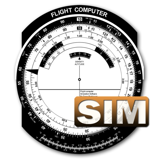
Flight Computer Sim
Diego Rodrigues
Calculate data with precision
A utility simulates an E6B slide ruler for aircraft pilots. Perform conversions, wind corrections for low and high speed. Rotate, slide, and pinch zoom for precise control. Includes three calculation modes.


RC AR Flight Simulator
长锋 林
Fly drones in realistic simulations
Simulate drone with realistic controls and environmental obstacles. Adjust drone settings, view real-time altitude and battery status. Record sessions and replay in first-person view.

RemoteFlight MAP
Vladislav Oupicky
Map follows aircraft in simulators.
The app provides a zoomable map that follows the aircraft's position during flights in simulator programs. Key flight variables are displayed on a side panel, and users can customize map types, aircraft icons, and units of measurement.

FLT DIR - Flight Director
Flt Dir LLC
Manage logs and aircraft data
Track detailed logs with Hobbs and Tach time. Record multiple destinations and routes. Assign multiple pilots to flights. Add maintenance notes and document details. Manage aircraft schedules and access operational data in one platform.
E6Bvd
Whiskey Victor LLC
Calculate fuel burn, adjust for winds, plan
Calculate fuel burn with altitude, distance, and wind adjustments. Generate time tables for loiter, transit, and efficiency planning. Adjust for varying altitudes and wind conditions. Input mission-specific data for accurate results.

How we rank alternatives
Apps are ranked by functional similarity, category fit, rating confidence, and popularity.