Navigate school campuses to locate classrooms, tutoring centers, and other key locations. Verify email and use location-based access for secure entry. Track movement and receive directions within the campus boundaries.
by EduPath LLC★ 5.05 ratingsNavigationFreeData updated 2026-09-06
Navigate with voice-guided turn-by-turn directions in multiple languages. Plan door-to-door routes. View upcoming maneuvers and distances. Access offline for 200+ countries. Receive speed limit and camera warning alerts.
Navigate trails and routes for hiking, biking, and running. Access detailed maps of national parks and coastal paths. Find local neighborhoods and new trails. Plan routes with turn-by-turn directions. View elevation profiles and track progress.
Check real-time parking lot status at university campuses. Share updates with other users. View availability and navigate to open spots. Receive notifications about changes.
Navigate using pedestrian and bike routes, even without an active iPhone location. Search for shops, restaurants, and other points of interest. Bookmark favorite locations for quick access. Customize color schemes between light and dark.
Provides interactive maps with lakes, rivers, and zones. Users can track routes using offline GPS navigation. The includes tools for marking locations and planning trips.
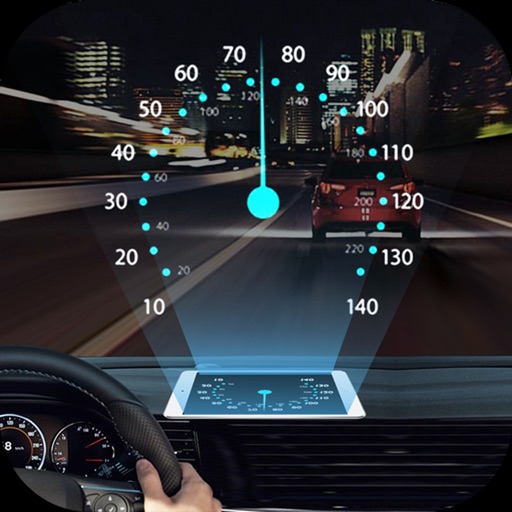
Projects speed, clock, weather temperature, cruise control, and now playing song information onto the windshield when iPhone is rotated and placed near the windshield. Displays data in landscape mode for easier visibility while driving.
View live train predictions with real-time arrival times for all WMATA Metrorail stations. Access the interface showing line colors, car counts, destinations, and exact arrival times.
Plan routes with real-time traffic and road network data. Search for points of interest including hospitals, restaurants, and businesses. Calculate fuel costs for trips. Update location and navigation settings. View detailed of over 350 cities.
Pay for fuel without leaving your car using contactless payments via Apple Pay or credit cards. Locate nearby stations, check fuel prices, and earn rewards through the . Track spending and receive notifications for transactions.
Navigate public transport with real-time schedules and planning. View interactive maps with pan and zoom features. Find nearby stops and transfer points. Get step-by-step directions for U-Bahn, tram, and bus routes.
Track schedules and receive real-time updates on delays, traffic, and weather. View route maps and estimated arrival times. Set reminders for departures and receive notifications about changes to your schedule.
Find spots in over 250 European cities. Search for available near your location. Compare prices and in advance. Pay securely through the . View real-time availability and receive notifications when spots open.