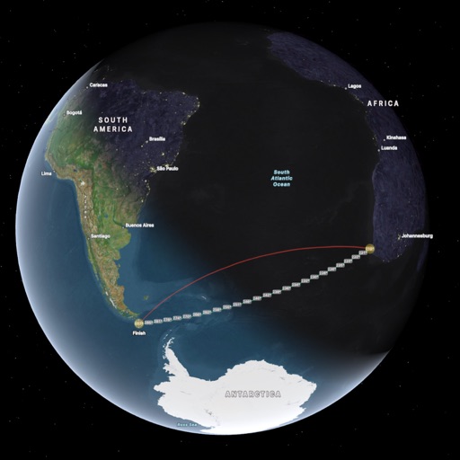
Find routes with real-time traffic updates and voice-guided . View 3D aerial and use a digital compass for orientation. Plan trips with AI-generated itineraries and track progress toward destinations.
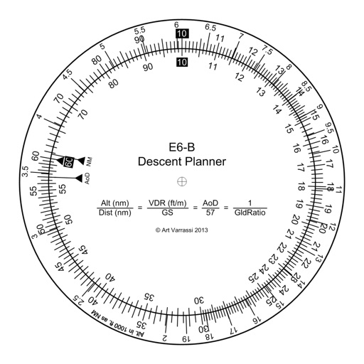
The app offers a functional circular slide rule for descent planning. It calculates top of descent distance, angle, rate, glide ratio, and maximum glide distance.
Calculate bullet drop and wind drift for long range shooting. Adjust for elevation, temperature, and humidity. Calibrate for specific rifles and ammunition. Access built-in documentation and instructional videos.
Monitor location, heading, pressure, temperature, altitude, speed, distance, and elapsed time in real-time. Track trips, share routes, and receive comprehensive built-in instructions. Customize settings and view data on a large, easy-to-read display.
The app provides tools for geocaching, including coordinate manipulation, cipher decoding, and interactive data tables. It offers various coordinate conversions and map interface options.
Access vector charts, freshwater maps, and USACE river maps. Create or import routes using GPX/KML. Receive voice prompts for navigation. View tide and current predictions. Rotate charts with text remaining upright.