Calculate costs and percentages for building projects. Estimate quantities needed for walls, floors, and roofs. Convert measurements between units. Track project budgets and adjust estimates in real time. Export calculations to PDF or email.
Allows users to measure spaces using laser meters to create detailed floor plans. It includes doors, windows, countertops, cabinets, and plumbing fixtures.
Calculate materials with 10 tools for gravel, soil, mulch, concrete, pavers, retaining walls, grass seed, sod, area, and volume. Input dimensions in inches, feet, yards, centimeters, or meters. Output results in US customary or metric units.
Create and outdoor spaces with tools for planning layouts, adding plants, and arranging furniture. Decorate gardens in 3D and view projects in Augmented Reality on compatible devices. Share designs with a community. Save projects in the paid version.
Measure objects using camera and AR. Tap to measure lengths, heights, and areas. Create floor plans by placing markers. Use ruler, level, and flash tools for precision. Save and share measurements directly.
Perform length calculations, determine fittings angles, and estimate material requirements. Access schedules, standards, and industry-specific data. Convert units and calculate pressure drops. Save and export calculation results.
Search commercial listings for sale and lease nationwide. Filter by property type including retail, multifamily, office, industrial, hospitality, mixed-use, land, special purpose, and note/loan. Browse detailed listings with precise search options.
Use your phone's camera to measure objects, calculate areas, and create floor plans. Access AR measure, , and level tools. Save measurements and switch between metric and imperial units.
Connect to ColorSnap™ Pro or ColorSnap™ devices for paint color matching. Scan surfaces to identify closest Sherwin-Williams paint color and sheen. View matched color details and save results for reference.
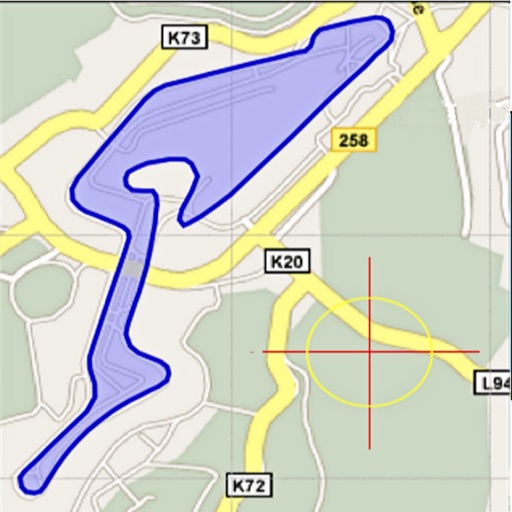
Area, lengths, and angles on maps using an interactive crosshair. Trace outlines to create connected points, updating area and perimeter in real time. Adjust radius for scaling features. View dynamic length and angle as you move the crosshair.
Measure and draw simultaneously using Bluetooth-connected devices. View measurements in 2D and 3D with multiple visualization options. Edit and save measurement data directly on the device. Export and share measurement results.
Edit and convert PDFs with AI-powered tools. Chat with PDFs, translate documents, and detect grammar or AI-generated content. Summarize text, scan pages, and annotate files. Share and export in various formats.
View boundaries, parcel data, and land information using GPS. Check ownership details, lot lines, and classifications. Access nationwide coverage and accurate positioning for real-time land verification.
Measure distances between objects and calculate areas using GPS. Select units in Imperial or Metric systems. Determine property lines and export measurements in square feet, acres, or kilometers.
Monitor real-time GPS accuracy and switch between latitude/longitude and DMS formats. Copy with one tap. Toggle between metric, imperial, and nautical units. View location data quickly with a simple, reliable interface.
Measure angles with touch or camera modes. Tap the screen to set points and calculate angles. Capture images for instant analysis. Customize measurement tools and save multiple angles simultaneously. Sync measurements across devices.