

Apps Like eOceanic for iPhone and iPad
Ranked alternatives
Showing 361–380 of 1,000 ranked alternatives.

Antenna Mate
Tate Johnson
Point for TV reception
Helps users find optimal TV directions for better reception. It uses location data to suggest alignment directions in the UK, Australia, and New Zealand. Users can access detailed transmitter information and view signal strength indicators.
Scenic Map Western USA
Mark Granger
Explore 3D maps offline worldwide
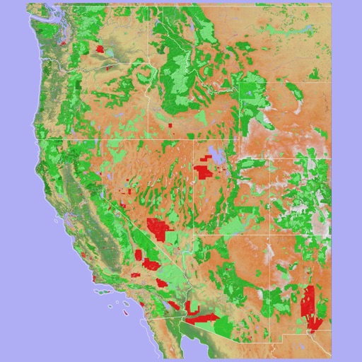
Navigate using a 3D topographic map of the USA and Hawaii. Access offline vector maps for navigation in vehicles or outdoors. Switch to online maps for global coverage with automatic caching. Explore locations with zoom and scroll features.




CABLR - Prime Rides & Drivers
Cablr Technologies Inc
Book trips and track your driver
Book with pre-vetted independent operators offering premium ground transportation. View driver profiles, track vehicle details, and confirm ride details before departure. Receive real-time updates and navigate using integrated maps.



STQRY Guide
oncell systems
Stories that bring places to life.
The app provides self-guided tours for museums, parks, cities, and cultural landmarks. It offers audio, images, video, and interactive maps for deeper context and connection to surroundings.

Great Depths
Tyler Elko
Navigate waters with depth data
Turn your iOS device into a digital depth finder. View real-time depth readings adjusted for tide levels. Access live tide data and NOAA RNC nautical charts. Navigate coastal waters, Lakes, and Lake Champlain. Set and track ports of call.

Wärtsilä iSailor
Wartsila Voyage Sweden AB
Navigate with electronic charts and track
View and navigate electronic charts, including TX-97 vector charts. Access navigational data and additional content. Purchase and download chart folios through the Chart Store. Display real-time positioning and route information.


WA Tide Times
Xentore Pty Ltd
Track tides across Western Australia.
The app provides tidal information for Western Australian ports through December 2020. It displays high and low tide times, tide heights, and sunrise/sunset times, with GPS and map features available.

Rest Break Optimizer
SPR Technical Services LLC
Calculate breaks and optimize schedules
Crew calculates pilot breaks and optimizes schedules. Users input four entries to generate a schedule. Changes update the schedule automatically. Schedules are displayed in text and two graphical formats showing breaks and work periods.



Air Tracker For Ryanair
Fikret Urgan
Track flight details and real-time data
Track flights in real-time with flight details, aircraft models, and live positions. View flight paths, altitudes, and speeds. Receive notifications for takeoffs and landings. Access historical flight data and aircraft information.
How we rank alternatives
Apps are ranked by functional similarity, category fit, rating confidence, and popularity.