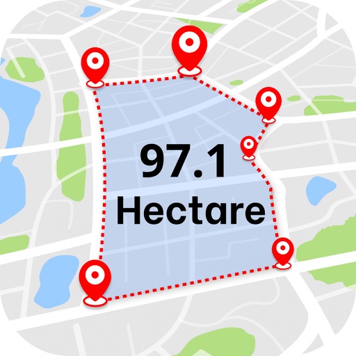
Measure areas using GPS or manual map points for accurate calculations. Switch between and distance modes. Save measurements for later access. Use compass navigation for directional guidance.
Organize and manage photos with customizable folders and tags. Search by keywords or dates. Export selected images to cloud storage or local devices. Supports multiple languages including English, German, French, and others.
The app measures the user's present location using the iPhone's GPS function. It generates a Google Maps URL of the measurement data and sends it via email, allowing recipients to view the user's movement tracks.
Connect to Bluetooth-enabled testers to measure pH, conductivity, TDS, salinity, resistivity, ORP, and temperature. View data in Simple, Dial, Graph, or Table modes. Save and manage measurement records in a cloud-based system.
Measure horizontal and vertical angles with precision. Set reference points and receive haptic feedback for alignment. Mark reference points and adjust settings for accurate measurements.
Create notes, drawings, and organize content on an endless . Import and annotate PDFs, add images, and use intuitive drawing tools. Zoom in or out, choose backgrounds, and export work for sharing. Sync across devices using iCloud.
The app offers pixel art creation with basic drawing functions and layer support. It allows for animation with onionskin tracing and file sharing in multiple formats.