The app allows users to create personalized postcards using photos, captions, and frames. It automatically uses the user's location and analyzes photos to customize the layout, offering filters, font choices, and color settings for an authentic look.
Manage geographic data and plan trips using map data. Transfer data to and from devices. Create and edit waypoints, routes, and tracks. Find addresses and points of interest. View maps in 2D and 3D. Display topographical information.
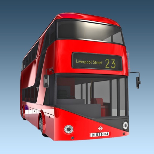
The app provides real-time bus arrival information for all London bus stops using Transport for London live data. Users can find bus stops by name, ID, or current location to check upcoming arrivals.