Maricopa County air quality real-time information.
The app provides real-time air quality information for Maricopa County. It also delivers alerts for High Pollution Advisories, Health Watches, and activity restrictions.
Track water levels for the Danube, Tisa, Sava, and Morava rivers for up to four days. View current and yesterday's water levels, changes in water levels, flow rates, and water temperature.
View hazard zones along Oregon and Washington coasts. Check if locations like home or school are in zones. Access maps and real-time data for preparedness.
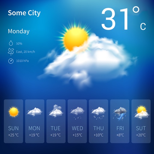
The app provides weather forecasts up to 5 days in advance from the Civil Protection Functional Center of the Autonomous Province of Trento. Users can also access the VMI Radar map, satellite map, and regional webcams.
Monitor river levels and current status in real time, including normal, observation, attention, warning, and maximum warning levels. View one-hour river level forecasts during warnings.
View Doppler radar, alerts, and current conditions. Access local forecasts and live cameras. Track severe updates and receive real-time alerts for the Upper Cumberland region.