Measure dimensions, angles, and distances using augmented reality. Tap the camera to scan objects and receive precise measurements. Save and share measurement data. Sync with other devices for collaborative projects.
by ANALYTIC SERVICES LTD★ 4.523 ratingsProductivityFreeData updated 2026-09-06
Measure ambient noise and levels in real time with readings and graphical displays. Track noise exposure over time using NIOSH or OSHA standards. View numerical and visual representations of levels.
Take a photo to estimate the weight of objects in using AI analysis. Measure food portions, jewelry, ingredients, tools, or small items. No external hardware required. Share results directly.
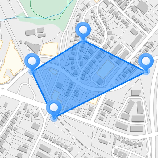
Measure areas and distances on maps by placing points and calculating the total or route length. Save and share specific locations as points of interest. Calculate GPS areas with high accuracy.
Create room and layouts with furniture placement. Use camera measurements for precise dimensions. Export designs as PDF, DXF, or PNG. Sync with Apple Health.
Track sessions with a -level to measure concentration. Set reminders and track progress over time. Connect with global groups to collaborate and share resources. Lock screen to minimize distractions during periods.
Measure slopes with high precision using accelerometer and gyroscope. Calibrate for accurate readings. Align objects or measure inclines for construction, landscaping, and other applications. Save and share measurements.
Calculate decking and flooring materials with area, board runs, spacing, and waste allowance. Generate material takeoffs for boards and joists. Measure roof coverage, sheet counts, overhangs, pitch, angle, and rafter lengths.
Measure lengths with a virtual ruler. Use protractor, plumb line, and spirit level for angles and alignment. Check elevation, air pressure, and location. Monitor decibels. Convert ordinal dates to calendar dates.
Track and measure roof dimensions using a sketch tool and positioning features. Preview roofs on maps or import images/blueprints. Save measurements and label lines. Take and save photos for documentation.
Measure land , distance, and perimeter using real-time GPS. Mark points on a map to calculate fields, plots, and paths. Switch between and distance modes. Supports units like acres, hectares, and square feet. Save and export data.
Measure angles, level surfaces, and track progress
Measure angles and slopes with the protractor tool. Use the level function to check horizontal, vertical, and 45° angles. Measure height, length, and width with the caliper tool.