

Apps Like Satellite Finder Pointer Track for iPhone and iPad
Ranked alternatives
Showing 721–740 of 1,000 ranked alternatives.



FG Finder
Full Gauge Eletro-Controles LTDA
Consult manuals, send requests, watch training videos
Access manuals, schematics, and training videos for instrument installation. Send information requests and use a calculator to determine ideal expansion valves. Locate nearby resellers using GPS coordinates.


Pilot's Airport Reference Lite
George Smorse
Filter frequencies by state or type
Tool provides communication frequencies and runway details for major U.S., Hawaii, and Alaska airports. Filter by state or type. Search by name or IDENT code. View runway configurations and approach information.


MapTrace+
Nasir Jeevanjee
Track terrain and analyze coordinates
Trace paths on maps to analyze elevation, distance, gradient, and bearing. View elevation and grade profiles of traced routes. Calculate area of arbitrary paths. Use satellite or default map views for terrain study.

GPX Reader
Jelle Vandebeeck
Read GPX files on macOS
The app reads GPX files, displaying tracks, routes, and waypoints. It supports multiple file types including TCX, LOC, NMEA, and TRACK, and can display files on map views.
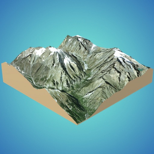
3D GIS Digital Elevation Model
Andres Narvaez
Generate 3D models from internet or cloud
Create 3D models from online sources like Bing Maps or local cloud points. Export data as CSV, TXT, STL, or OBJ. Modify models by cutting, scaling, and animating. Calculate surface areas and volumes in real-world units.






Altimeter GPS+ (Speedometer)
Tigran Mkhitaryan
Share location links instantly
Track elevation and climb rate in real-time. Calibrate altitude settings and check GPS accuracy. Send location links via SMS for easy sharing and navigation assistance. View maps in web browsers for location tracking.
How we rank alternatives
Apps are ranked by functional similarity, category fit, rating confidence, and popularity.