Solve puzzles by combining word search, jigsaw, and trivia elements. Explore themes like animals and science. Complete daily puzzles from the community and weekly jigsaw puzzles from the team. Track progress and unlock new challenges.
Control construction machines like bulldozers and cranes to dig and move earth. Collect fossils and ancient treasures. Complete challenges to unlock new levels and tools. Track progress through interactive storytelling and educational content.
Create a simulated by placing dots on a gravity field. Manipulate sand, water, seeds, lava, and other elements. Experiment with combinations to shape landscapes and ecosystems. Share creations with others.
Identify species using photos or descriptions. View detailed species information including habitat, behavior, and distribution. Access a collection of high-quality photographs. Save and organize sightings. Share observations with other users.
Manage resources and make decisions to improve ecosystems. Develop environmental initiatives and learn about endangered species. Engage in resource management and diplomacy to address climate challenges. Track progress toward sustainability goals.
Explore 249 countries and 50 U.S. states with realistic flags and national anthems. Tap to play anthems, double-tap to link to Wikipedia. Use gesture controls to navigate the 3D . View time zones and country information in multiple languages.
Track environmental observations like cloud cover, land cover, and mosquito habitats. Submit data for scientific research. Access educational resources and learn about Earth systems. Share observations with the global community.
Explore a 3D globe with relief models and political and physical maps. View day/night cycles, time zones, and city lights. Access over 2,600 geographic objects and more than 500 wonders of the .
Explore the night sky with three perspectives: sky, Earth, and solar system. View star maps, constellations, and celestial events. Use augmented reality for interactive exploration. Display high-resolution Earth globe and solar system models.
Track flyovers of the International Space Station, Tiangong, and Hubble Space Telescope with 3D visualization and live positioning. Predict up to 30 days ahead with location-based pass times and a 0–4 star rating system for visibility.
Explore with high-resolution maps and topographic details
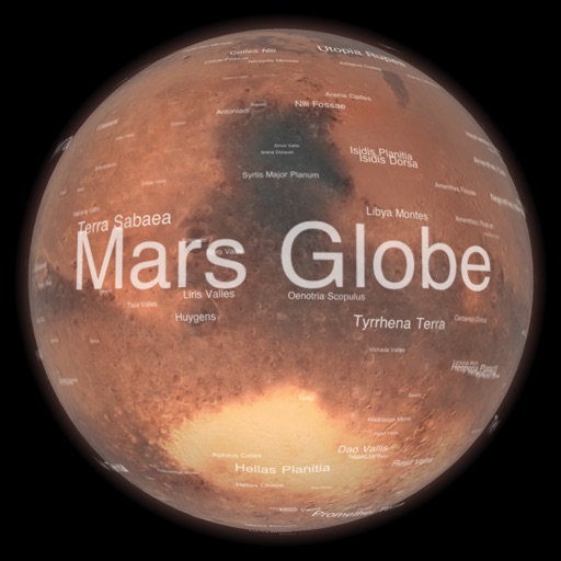
Explore a high-resolution 3D model of with topographic lighting and satellite data. Navigate the surface, view annotated features, and access information links. Take a guided tour or explore freely.
View a 3D and rotate it using touch gestures. Zoom in and out with a pinch. Search for a country to navigate to it. Tap a country to display Wikipedia information.
Track personal carbon footprint and set reduction goals. Access community challenges and local events. Learn about sustainable practices and share progress. Connect with others to collaborate on environmental initiatives.