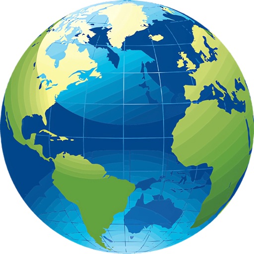
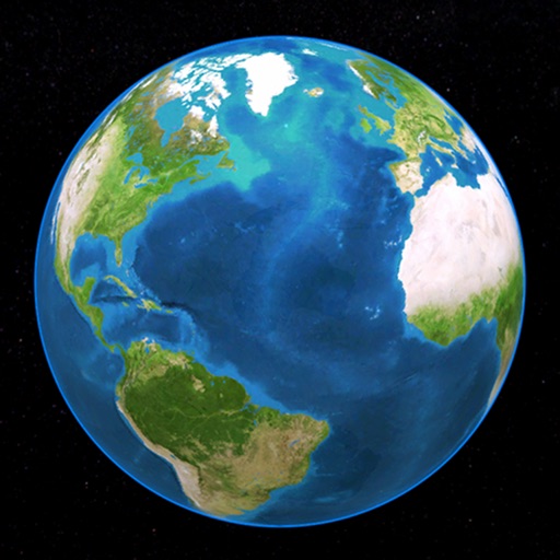
View a 3D and rotate it using touch gestures. Zoom in and out with a pinch. Search for a country to navigate to it. Tap a country to display Wikipedia information.
by Alan Smith★ 2.5285 ratingsReferenceFreeData updated 2026-09-08
Explore 249 countries and 50 U.S. states with realistic flags and national anthems. Tap to play anthems, double-tap to link to Wikipedia. Use gesture controls to navigate the 3D . View time zones and country information in multiple languages.
Explore a 3D globe to learn about countries, their cultures, wildlife, transportation, historical figures, and landmarks. View facts, images, and descriptions of over 200 nations.
Explore a 3D globe to learn about countries, their cultures, and geography. Discover fun facts, animals, vehicles, and historical figures. View detailed information on food, traditions, and notable people.
Quick access to detailed maps for navigation and reference. View country flags, capitals, and population data. Explore facts about countries, languages, and currencies. Search for locations and view geographical information.
Explore detailed with zoom functionality. View country profiles and compare locations. Access about geography, culture, and history. Search for places and view satellite imagery. Save favorite locations and share with others.
The app displays a 3D globe with 249 countries and 50 USA states. It offers gesture control for browsing, linking to Wikipedia, and displaying realistic flags.
Learn geography by exploring 5 new locations daily linked to historical events. Tap locations on a 3D globe for historical context and stories. Practice with 50+ curated locations. Compete on global leaderboards, earn badges, and track streaks.
Create 3D building blocks with color options. Add or remove blocks with a single tap. Rotate blocks using one finger. Pinch to zoom and spin blocks for different views. Save screenshots of creations.
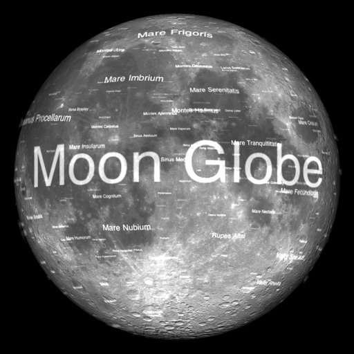
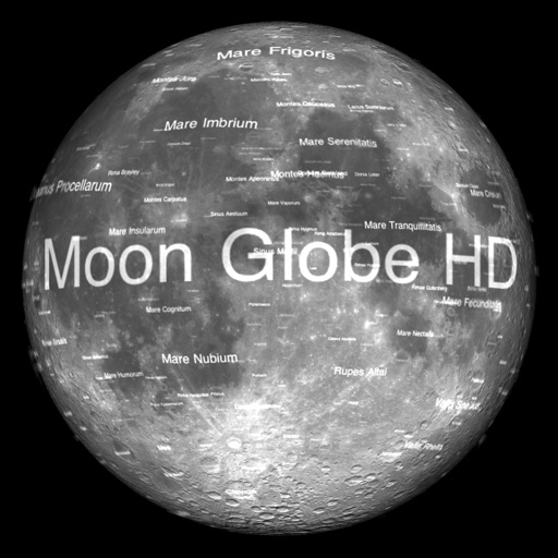
The app renders the Moon in realtime 3D using satellite imagery and topographic data. Users can manipulate the view, adjust sunlight, and see labeled terrain features and spacecraft.
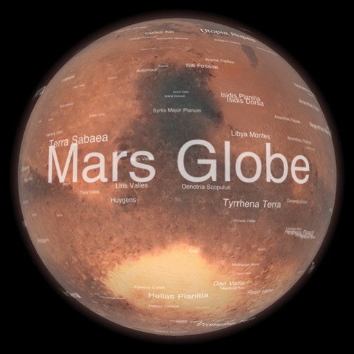
Explore by rotating, tilting, and zooming a 3D globe. Select locations to view topographic and gravity data. Pinpoint key features like volcanoes, craters, and spacecraft landing sites.
Place countries, territories, and landmarks on a 3D globe. View capital cities and major landmarks. Explore high-resolution maps with translucent oceans. Learn about geography through interactive placement and detailed locations.
Explore with high-resolution maps and topographic details
Explore a high-resolution 3D model of with topographic lighting and satellite data. Navigate the surface, view annotated features, and access information links. Take a guided tour or explore freely.
The app displays Earth's Moon in realtime 3D using satellite imagery and topographic data. Users can manipulate the view, switch to Telescope mode, and adjust the display time to observe shifting sunlight on the lunar landscape.
Learn geography through interactive puzzles. Tap or drag targets to place them correctly. Zoom and pan maps using pinch gestures. Purchase additional maps within the . Track progress and compete for high scores.
Explore by rotating, tilting, and zooming a 3D globe. Select locations to view topographical data and gravity maps. Pinpoint key features like volcanoes, craters, and spacecraft landing sites.