Track with real-time GPS measurements and second-level precision. Monitor oxygen levels and elevation changes. Log journeys offline and sync data later. Customize themes and access advanced tracking features without login or ads.
Access event details, race information, and course maps. Track live progress of friends and family. Receive updates and notifications. Explore scenic routes and urban areas during the weekend.
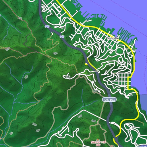
View and download detailed maps with topographical hillshading and contour lines. Store maps for offline use. Navigate using detailed terrain features. Find hiking trails, ski runs, and back streets.
Navigate the Western Balkans with high-resolution maps that adjust to all zoom levels. Find biking routes, hiking trails, accommodations, and local dining options. Access details and points of interest.
The app organizes outdoor activities in South Tyrol. Users can search, filter, and explore activities on a map, with options for detailed descriptions, offline maps, and GPS directions.
Plan and record off-road trips with GPS tracking. Save and trail routes. Organize group meetups and ride details. Sync with community to exchange trail information and experiences. View trip history and revisit past routes.