Manage geographic data and plan trips using map data. Transfer data to and from devices. Create and edit waypoints, routes, and tracks. Find addresses and points of interest. View maps in 2D and 3D. Display topographical information.
Manage vehicle fleets by viewing real-time positions, colleague locations, and vehicle status. Access live speed, satellite data, battery levels, and connection status. Switch between maps and control vehicle functions with quick on/off settings.
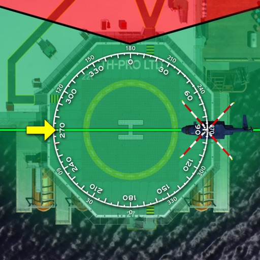
The app displays track, heading, distance, ground speed, time enroute, ETA, and fuel burn on one screen. It includes METAR and TAF weather access and 55,000 airports and navaids offline.